Overview of Drone Realty Photography
Drone realty photography has revolutionized the way real estate professionals showcase properties, especially in fast-growing markets such as Miami. By utilizing unmanned aerial vehicles equipped with high-resolution cameras, this technology allows agents and developers to present comprehensive views of properties from above, providing potential buyers with a unique perspective that ground-level images cannot offer. The strategic use of drone photography enables a detailed display of property exteriors, surrounding landscapes, and neighborhood amenities, all within a visually engaging format.
In the vibrant Miami real estate scene, where waterfront properties, sprawling estates, and urban developments define the landscape, drone photography has become an essential element of modern marketing campaigns. It enhances property listings by offering dynamic aerial shots and videos that capture the full scope of a property's features, location advantages, and its relationship to nearby attractions.
The evolution of drone technology, combined with advanced camera systems and stabilization techniques, ensures high-quality visuals that serve as powerful marketing tools. Real estate professionals increasingly depend on this method to differentiate their listings in a competitive market, attract more interest, and streamline the sale process. As the demand for immersive property presentations continues to grow, drone realty photography remains at the forefront of innovative real estate marketing strategies in Miami.
Technical Aspects of Drone Photography for Realty
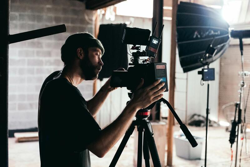
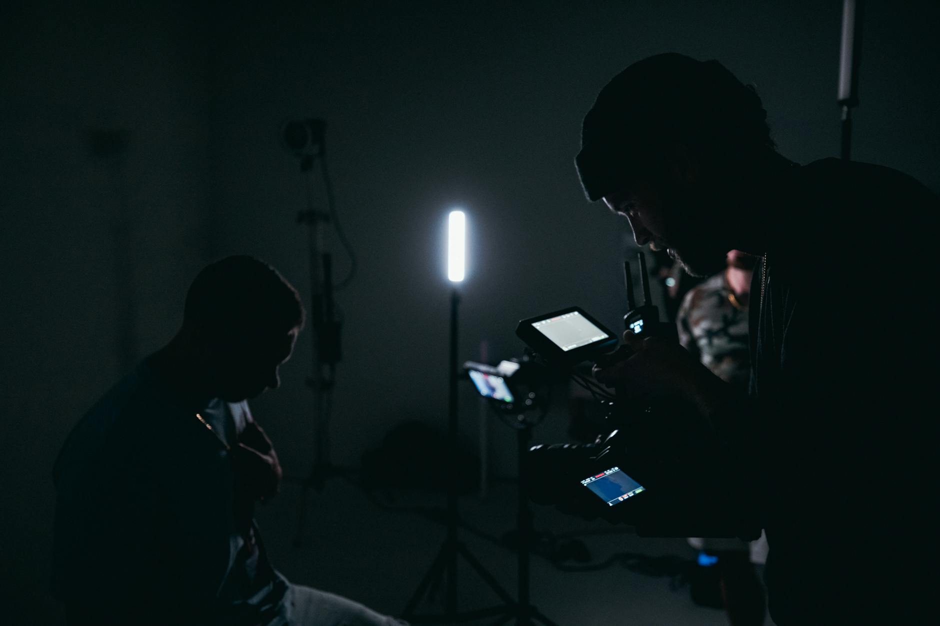
Achieving high-quality drone footage for real estate requires careful attention to a variety of technical elements. Ensuring clarity and stability in aerial imagery involves advanced camera systems equipped with high-resolution sensors that can capture vivid details from significant altitudes. These cameras often feature fast shutter speeds to prevent motion blur caused by wind or drone movement, resulting in crisp, professional visuals.
Stabilization plays a crucial role in delivering smooth footage. Many drones are equipped with sophisticated gimbal systems that compensate for aircraft vibrations and sudden movements, thereby producing steady shots suitable for both still images and cinematic videos. This stabilization enhances the viewer's experience and highlights the property’s features with clarity and precision.
Flight planning is equally important. Professionals utilize detailed pre-flight protocols that consider wind conditions, lighting, and specific angles to optimize the shot quality. Mission planning software ensures precise navigation trajectories, allowing for repeatable and consistent image capture. This methodical approach guarantees comprehensive coverage of the property, including angles that showcase its scale, architecture, and surrounding landscape.
Battery life and flight time are critical as well. Efficient power management enables longer shooting sessions and the possibility of capturing extensive footage from multiple vantage points. Operators often carry backup batteries and plan their sessions to maximize productive flight time while maintaining safety standards.
Technical Aspects of Drone Photography for Realty
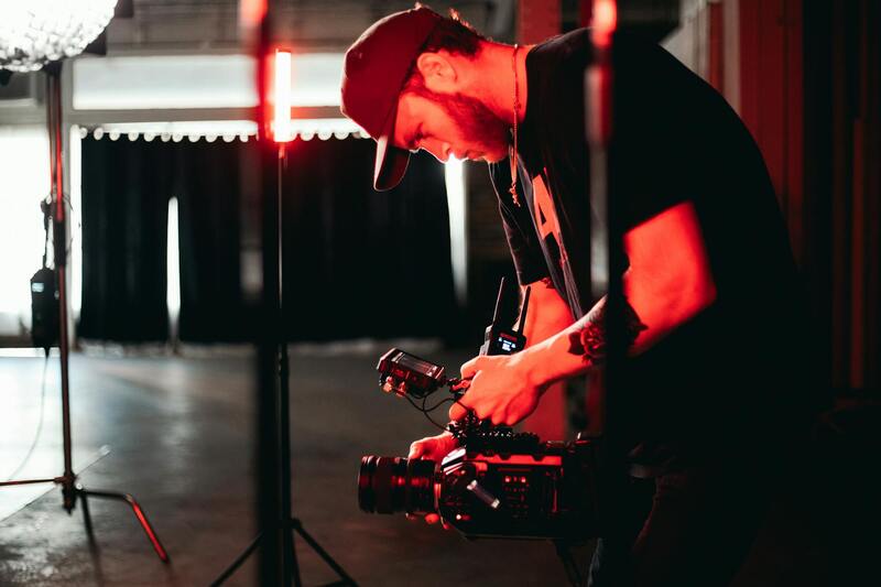
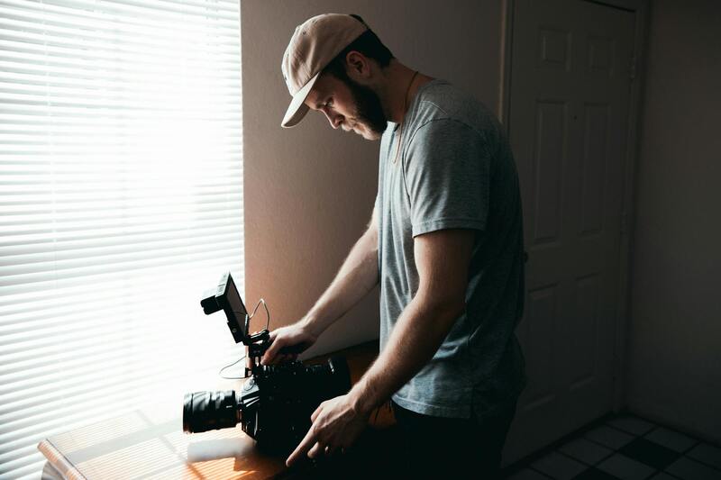
Successful drone realty photography hinges on the selection of appropriate equipment, adherence to safety protocols, and achieving superior image quality. The core components of effective drone photography include high-resolution cameras, stable flight platforms, and advanced imaging technology. High-resolution cameras with 20MP or higher sensors are preferred for capturing detailed images that can be enlarged without loss of quality, providing potential buyers with a clear and comprehensive view of the property.
Stability is vital to produce sharp, professional visuals. Modern drones are equipped with state-of-the-art gimbals that stabilize the camera during flight, compensating for vibrations and movements. This ensures smooth footage and crisp images, even when navigating through gusty winds or uneven terrain. Furthermore, multi-camera systems can offer varied perspectives, including wide-angle shots and zoomed-in details, which enhance the overall presentation of the property.
Flight safety and operational controls are equally crucial. Professionals utilize flight planning tools and obstacle avoidance sensors to ensure precise navigation and safety during missions. Pre-flight checks cover weather conditions, ambient lighting, and clearance of flight zones, minimizing risks and optimizing shot quality. Additionally, operators should be trained in emergency procedures and situational awareness to handle unexpected challenges effectively.
Image quality delivery depends on a combination of camera settings, such as ISO, shutter speed, aperture, and image format. Executing proper exposure settings under varying lighting conditions is essential to prevent overexposure or underexposure. Shooting in RAW format, with higher bit depth, allows for better post-processing flexibility, resulting in vibrant, true-to-life images that truly showcase the property's appeal.
Overall, leveraging cutting-edge equipment combined with meticulous safety and image quality protocols ensures that drone realty photography provides impactful visual content. Such imagery not only captures the property's physical attributes but also portrays it in a way that resonates with prospective buyers, ultimately supporting a successful marketing campaign.
Technical Aspects of Drone Photography for Realty
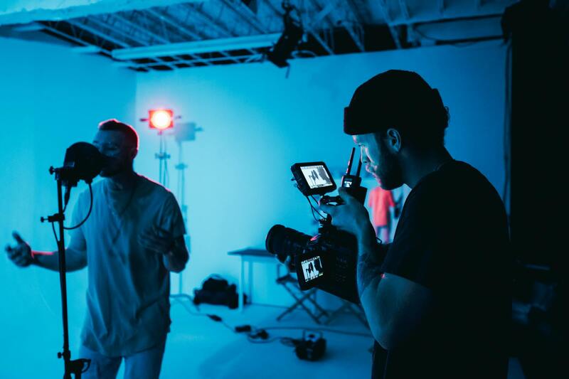
Achieving professional-grade drone imagery for real estate requires a meticulous understanding of both equipment capabilities and operational techniques. High-resolution cameras mounted on drones capture crisp, detailed visuals of property exteriors, landscapes, and surrounding environments. These cameras often feature adjustable settings such as ISO, shutter speed, aperture, and image format, which must be carefully calibrated based on lighting conditions and the desired aesthetic. Shooting in RAW format is commonplace among professionals, providing greater flexibility in post-processing to enhance color accuracy, contrast, and detail.
Stabilization technology, such as gimbals, ensures that images remain sharp and free from blurred motion, even in windy conditions. When selecting flight paths and camera angles, operators should aim for strategic perspectives that highlight a property's architectural nuances and landscaping. Planning flight routes with software tools allows for precise control, ensuring comprehensive coverage while maintaining safe distances from obstructions and neighboring structures.
Operational safety depends on thorough pre-flight checks, including weather assessments, obstacle detection, and battery management. Obstacle avoidance sensors and real-time telemetry aid in navigating complex environments, preventing accidental collisions. Operators are trained to execute emergency procedures, such as rapid landing or manual control override, to handle unforeseen circumstances swiftly.
Delivering high-quality imagery involves balancing camera exposure settings with the available light. For instance, adjusting shutter speed relative to ISO prevents motion blur or overexposure, ensuring every shot preserves the property's details. Optimal framing and composition are equally important, often achieved through multiple passes from different angles to create a comprehensive visual narrative of the property’s unique attributes.
In essence, leveraging state-of-the-art drone equipment and adhering to disciplined operational protocols guarantees the capture of impactful, high-quality images. These visuals are instrumental in creating an engaging property presentation that captivates prospective buyers and enhances marketing efforts. Combining technical excellence with aesthetic judgment allows real estate professionals to utilize drone photography as a powerful branding and sales tool, elevating the overall appeal of their property listings.
Legal and Regulatory Considerations in Miami
When engaging in drone realty photography within Miami, adherence to established operational standards ensures smooth execution and protection for all parties involved. It involves understanding and following the prescribed procedures for airspace management, which include obtaining necessary clearance for drone flights over specific areas and respecting designated no-fly zones. These zones often encompass critical infrastructure, densely populated areas, and private property boundaries, requiring comprehensive planning and coordination with local authorities.
Prior to conducting any aerial photography, operators should conduct thorough pre-flight planning that incorporates detailed site assessments. This includes identifying potential obstacles, such as tall structures, trees, or power lines, and scheduling flights during optimal weather conditions to prevent disrupted footage caused by adverse weather elements. Properly maintained equipment with reliable GPS and telemetry systems further ensure stable flights and precise positioning.
Operators are encouraged to develop detailed flight plans that specify altitude, flight paths, and camera angles, aligning with the specific requirements to capture compelling property visuals. Maintaining comprehensive flight logs not only assists in tracking operational history but also contributes to accountability and audit trails for each session.
Regular training and certifications are essential for drone operators, focusing on safe flying practices, emergency procedures, and advanced navigation skills. Additionally, operators should stay updated with any shifts in local regulations or guidelines promulgated by relevant agencies to ensure every flight aligns with current standards.
Technical Aspects of Drone Photography for Realty
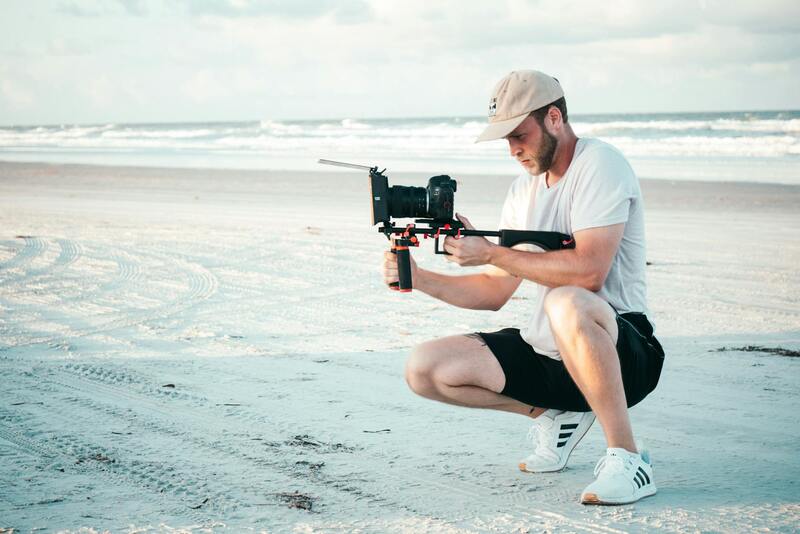
Effective drone realty photography hinges on the selection of appropriate equipment and mastery of advanced shooting techniques. High-resolution cameras capable of capturing sharp, detailed images are essential to showcase properties comprehensively. Many professionals opt for drones equipped with gimbals, enabling stable footage even in windy conditions, ensuring each shot maintains clarity and composure.
Optimal camera settings vary based on lighting and environmental conditions. Adjustments in aperture, ISO, and shutter speed help achieve well-balanced images that highlight property features vividly. For instance, during bright daylight, lowering the ISO and utilizing a narrow aperture reduces glare and enhances overall image sharpness.
Capturing dynamic aerial perspectives requires precise control over flight altitude, camera tilt, and angle. Low-altitude shoots accentuate property details such as courtyards, landscaping, and architectural features, while higher elevations offer sweeping views of the surrounding neighborhood, contextualizing the property within its locale.
Lighting conditions are crucial; conducting flights during golden hours—just after sunrise or before sunset—can produce warm, inviting images with soft shadows. Overcast days may diffuse sunlight evenly, reducing harsh contrasts and helping to capture true-to-life colors.
Post-flight optimization includes meticulous editing workflows. Adjustments to contrast, saturation, and perspective correction refine images for maximum visual impact. Employing HDR imaging techniques can also be valuable to balance light exposure in complex scenes with variable lighting conditions.
Drone pilots must also be familiar with flight planning software, which assists in mapping out routes that maximize coverage while maintaining safety parameters. These platforms facilitate pre-visualization of flight paths, ensuring comprehensive property capture without overlaps or gaps.
Maintaining consistent quality across shoots involves regular calibration of sensors and updates of firmware and software. Such diligence ensures that each image is of the highest standard, reinforcing trust with clients and elevating overall marketing efficacy.
Integrating Drone Photos into Real Estate Marketing Strategies
Once high-quality drone imagery has been captured, the next critical step involves strategic integration into comprehensive real estate marketing efforts. Effective use of these visuals can significantly enhance property listings, attract a broader audience, and facilitate faster sales. The process begins with selecting the most compelling images that highlight property attributes, such as expansive aerial views of the estate, detailed shots of unique architectural elements, and engaging interior-overview images derived from shot planning. Incorporating these images into online listings, social media platforms, and print materials can elevate the property's perceived value and appeal.
For digital platforms, optimizing image placement and resolution is essential. High-resolution images should be compressed appropriately to ensure fast load times without sacrificing quality, improving user experience and search engine rankings. Embedding drone photos within virtual tours or 3D walkthroughs offers potential buyers an immersive experience that highlights both the property's features and its surrounding environment. This multi-dimensional approach enhances engagement and provides a comprehensive understanding of the property context.
To maximize visibility, utilizing drone imagery within targeted advertising campaigns can be highly effective. High-impact visuals serve as eye-catching assets in online ads or email marketing, catching the attention of prospective buyers early in the decision process. Furthermore, creating consistent branding themes across all marketing materials—including signage, brochures, and online content—can reinforce brand recognition and professionalism.
Integrating drone photography into real estate marketing also involves monitoring and analyzing performance metrics. Tracking engagement levels on online listings and social media posts reveals which images resonate most with audiences. Data insights can inform future shoots and marketing tactics, ensuring continuous improvement. Additionally, collaborating with professional photographers or digital marketers who understand property branding can help tailor drone visuals for maximum impact.
Incorporating aerial imagery into open house events and community presentations can also generate buzz. Displaying high-quality drone photos in physical displays or digital kiosks provides prospective buyers with vivid, comprehensive views of the property and its surroundings. These visuals can foster a sense of connection and confidence, encouraging quicker transactions and higher offers.
Overall, the strategic deployment of drone images within a well-rounded marketing plan transforms static property listings into captivating narratives that engage, inform, and persuade potential buyers. This approach not only elevates the property's market presence but also positions real estate professionals as innovative leaders in the industry.
Choosing a Miami Production Agency for Drone Realty Photography
When considering professional drone realty photography services in Miami, partnering with a reputable production agency is crucial to achieving high-quality results. The ideal agency should possess extensive experience in aerial imaging, a robust portfolio showcasing diverse real estate projects, and familiarity with the latest drone technology and imaging techniques. Their expertise ensures every shot captures the property’s unique features while providing compelling visuals that appeal to prospective buyers.
It’s essential to verify that the agency complies with all relevant operational standards and maintains a fleet of well-maintained, advanced drones capable of delivering crisp, detailed images and smooth footage. A knowledgeable team will also understand how to navigate the specific scenic and structural challenges presented by Miami’s architecture and geography, ensuring comprehensive coverage of the property and its surroundings.
Effective communication is vital when selecting an agency. Clients should seek providers who offer transparent consultation processes, clearly explaining their approach to aerial shots, editing styles, and how their services integrate into broader marketing campaigns. An agency that collaborates closely with real estate agents and marketers can tailor imagery to highlight the property’s selling points, ensuring that each image aligns with strategic advertising goals.
Cost considerations are also significant, but the focus should be on value and quality. Professional agencies often provide comprehensive packages—including pre-shoot planning, aerial photography, video production, and post-editing—designed to maximize impact and return on investment. Some agencies may also offer additional services like 3D virtual tours or immersive walkthroughs that complement drone visuals and enhance online listings.
In Miami’s competitive market, choosing the right drone realty photography provider can distinguish a property and significantly influence buyer interest. By evaluating an agency's expertise, equipment, collaborative approach, and portfolio, sellers and real estate professionals can partner with experts capable of producing visually striking imagery that elevates property listings and accelerates sales processes.