The Benefits of Drone Photography for Real Estate Listings
In the highly competitive Miami real estate market, visual appeal can significantly influence a property's sale potential. Drone photography has emerged as a pivotal tool in creating captivating and comprehensive property listings. The ability to capture expansive aerial views allows potential buyers to gain a thorough perspective of a property's layout and its surroundings, which static ground-level photos often cannot provide. Through high-resolution drone imagery, listings can showcase both the intricate details of a property and its proximity to desirable amenities, beaches, parks, and cityscapes, thereby enhancing overall market appeal.
One of the core advantages of drone imagery is its ability to highlight outdoor spaces such as sprawling yards, pools, driveways, and landscaping features that contribute to a property's value. By integrating aerial shots, real estate professionals can craft a compelling visual story, making properties stand out in online listings and promotional materials.
Additionally, drone photography enhances virtual tours and online listings by providing dynamic, engaging content. This not only captures attention but also reduces the time a property spends on the market. The data indicates that homes marketed with comprehensive aerial imagery tend to receive more inquiries and showings, ultimately translating into quicker sales and potentially higher sale prices.
As visual marketing continues to evolve, drone photography stands out as an effective strategy for real estate agents and property owners seeking to maximize visibility. Its ability to present a professional, polished image underscores a property’s unique features and fosters a stronger emotional connection with prospective buyers. In a market like Miami, where location and outdoor aesthetics are paramount, drone imagery offers a competitive edge that can significantly elevate a listing’s market presence.
Types of Aerial Shots Used in Real Estate Listings
Utilizing a variety of aerial shots can significantly enhance the visual appeal of property listings and provide prospective buyers with a comprehensive view of the property and its surroundings. Each type of shot serves a specific purpose in conveying the property's features and setting the scene for potential buyers.
- Wide-Angle Exterior Shots: These provide an expansive view of the entire property, capturing the house, yard, driveway, and immediate environment. They are ideal for showcasing property size and its integration within the neighborhood.
- Detailed Close-Ups: Focused shots of architectural features, landscaping details, or unique outdoor amenities help emphasize the property's craftsmanship and appeal.
- Property Overviews: Elevated views from higher altitudes depict the property's positioning relative to nearby landmarks, roads, or natural features, enhancing understanding of its geographic context.
- Neighborhood and Local Area Shots: Incorporate images of local parks, beaches, schools, and commercial districts to highlight the lifestyle and convenience associated with the location.
- Sunrise or Sunset Shots: Timing aerial photography during golden hours creates visually striking images that evoke emotion and highlight outdoor spaces under appealing lighting conditions.
Consistency in shot selection ensures prospective buyers receive a detailed and engaging presentation, making it easier for them to visualize living in the space. Combining different angles and shot types ultimately results in a compelling narrative that differentiates properties in competitive markets like Miami.
Methods to Ensure High-Quality Drone Imagery for Real Estate
Achieving professional-grade drone photography for real estate listings involves several technical and operational considerations. The quality of aerial images directly influences the property's marketability, making it essential to understand the most effective methods to optimize the results. Here are key approaches to securing high-quality drone imagery for real estate near you:
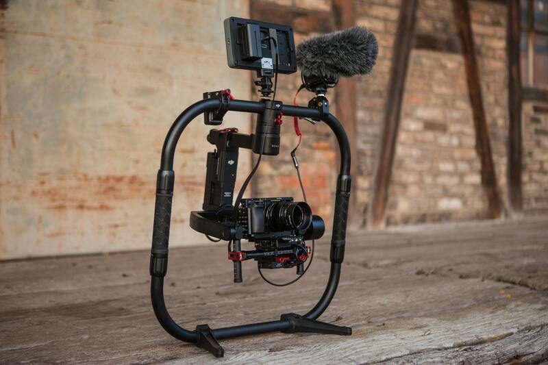
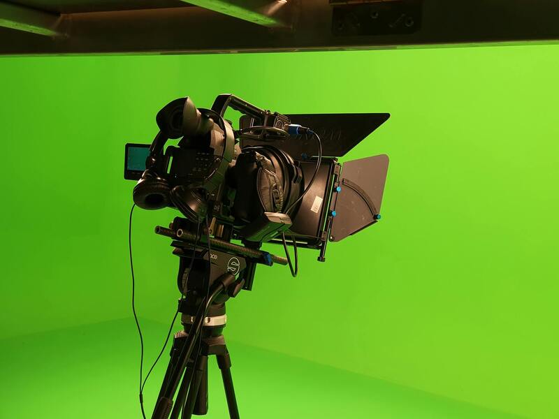
- Utilizing Advanced Drone Equipment: Selecting drones equipped with high-resolution cameras capable of capturing detailed, crisp images is fundamental. Modern quadcopters often feature 20-megapixel sensors and stabilized gimbal systems, ensuring sharpness and clarity even in challenging conditions. High-quality equipment allows for versatile shooting options, from wide-angle exterior shots to detailed close-ups of architectural features.
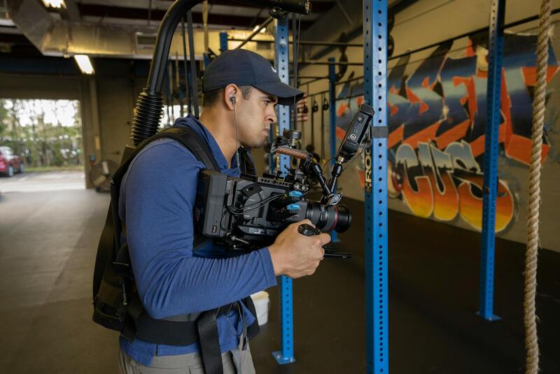
- Employing Proper Flight Planning and Techniques: Effective flight planning includes pre-determined flight paths, optimal altitude settings, and consideration of lighting conditions. Using professional flight planning software helps maintain consistent shot composition and avoid common pitfalls like unwanted shadows or distortion. Smooth, controlled drone movements and stabilization techniques reduce image blurriness, resulting in professional-grade visuals.
- Implementing Post-Processing Enhancements: After capturing footage, applying meticulous editing enhances visual appeal. Adjustments to brightness, contrast, and color saturation can bring out natural hues, making images more attractive. Correcting lens distortions and stitching multiple images into panoramic views provide comprehensive perspectives that emphasize the property's appeal.
- Adherence to Safety and Composition Standards: Ensuring safe drone operations not only complies with regulations but also prevents accidents that could compromise image quality. Composing shots with deliberate framing, avoiding clutter or obstructions, and highlighting unique architectural or landscaping features create compelling visuals that attract potential buyers.
- Scheduling During Optimal Lighting Conditions: Shooting during golden hours—shortly after sunrise or before sunset—produces warm, inviting images with softer shadows. These times offer natural lighting that enhances curb appeal, making properties look more enticing and memorable across marketing materials.
Successful drone photography for real estate hinges on combining advanced technology with skilled operational techniques. By leveraging top-tier equipment, thoughtful planning, precise execution, and strategic post-processing, real estate professionals can craft compelling visual narratives that elevate property listings. This integrated approach ensures that each image communicates the property's unique qualities effectively, capturing potential buyers’ attention and accelerating the sales process.
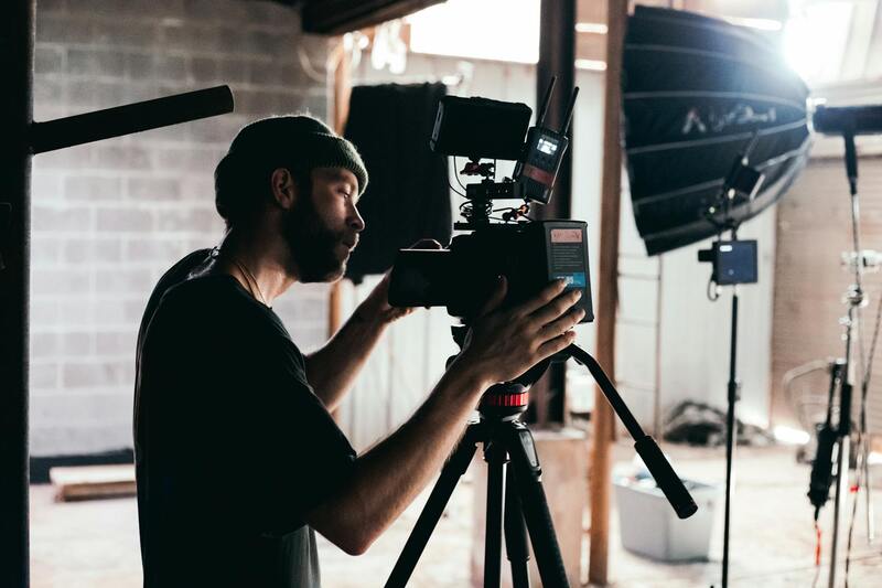
Choosing a Drone Photography Service Near You
When selecting a drone photography provider for real estate near your location, a meticulous approach is essential to ensure high-quality visuals that meet your marketing objectives. Start by reviewing portfolios to verify the consistency and quality of their aerial work, focusing on real estate projects similar to yours. Experienced operators will demonstrate an ability to capture properties from compelling angles, emphasizing key features and surroundings that appeal to potential buyers.
It's vital to confirm that the service employs certified pilots with expertise in aerial imaging techniques. Skilled pilots understand how to navigate complex environments, avoid obstacles, and operate confidently in various weather conditions, minimizing disruptions and ensuring safety. Additionally, inquire about the types of equipment used, such as high-resolution cameras, gimbals for stabilization, and the latest drone models, which significantly influence image clarity and detail.
Comparing pricing structures is equally important. Reputable providers offer transparent packages that specify deliverables, including the number of images, video length, editing services, and turnaround times. Understanding what is included helps avoid unexpected costs and ensures your project's requirements are met efficiently.
Customer testimonials and reviews can provide additional insights into their professionalism, reliability, and the level of client satisfaction. Professional drone photography companies also adhere to industry standards for safety and image quality, which translates into better visuals that enhance your property’s presentation.
Collaborating with a trusted, locally based drone operator ensures that your real estate listings benefit from well-executed, impactful imagery designed to attract potential buyers effectively. When evaluating options, prioritize providers with proven experience, professional credentials, and a clear understanding of real estate marketing strategies to maximize the return on your investment in aerial visuals.
Types of Aerial Shots Used in Real Estate Listings
Effective drone photography for real estate requires a strategic selection of aerial shots that highlight the property’s most compelling features and create an engaging visual narrative. Different types of shots serve distinct purposes, and choosing the appropriate angles and compositions can significantly influence a property's market appeal.
One of the fundamental shot types is the overhead shot. These images provide a comprehensive view of the property’s layout, surrounding landscape, and neighboring features. Overhead shots establish context and give prospective buyers a sense of scale, which is particularly important for larger properties or those with expansive outdoor amenities.
Oblique or angled shots are another essential category. These photos are taken from a tilted perspective, offering depth and dimension to the property’s exterior. They effectively showcase architectural details, outdoor patios, gardens, and other key selling points in a visually appealing manner.
Property and aerial neighborhood views are used to position the home within its community. These shots can include the property’s proximity to landmarks, parks, schools, or commercial centers, which are often influential factors for buyers evaluating location benefits.
Close-up aerial images focus on specific features, such as swimming pools, unique roofing materials, or outdoor kitchens. These detailed shots are instrumental in emphasizing luxurious finishes or renovation highlights that differentiate the property from competitors.
During the planning process, it’s crucial to consider lighting conditions for the timing of drone flights. Optimal lighting, such as early morning or late afternoon, enhances image clarity and emphasizes textures, colors, and structural details, resulting in more professional and attractive visuals.
Ultimately, selecting a diverse set of aerial shots tailored to the property’s attributes enables real estate professionals to craft compelling listings. Well-executed aerial imagery not only captures the property's physical appeal but also supports broader marketing strategies designed to engage potential buyers effectively.
Utilizing Actual and Recognized Methods for drone photography near Miami
When seeking professional drone photography services for real estate in Miami, it is essential to prioritize providers that employ official and verified operational procedures. Reputable companies adhere to established standards to ensure that aerial imagery is captured responsibly, accurately, and with optimal safety measures in place. These methods include comprehensive pre-flight planning, environmental assessments, and proper drone maintenance, all aimed at delivering high-quality visuals that meet industry expectations.
One of the key components of official drone photography involves meticulous flight planning. This process encompasses selecting appropriate flight zones that avoid restricted or sensitive areas, determining the correct flight altitude to capture the property effectively without encroaching on no-fly zones, and scheduling flights during the best lighting conditions. Professional operators utilize advanced mapping tools and comprehensive geographic data to guarantee that every shot offers maximum clarity and detail.
Another vital aspect is the use of certified equipment. Leading drone service providers rely on aircraft that meet rigorous safety and performance standards, including high-resolution cameras equipped with stabilizers, GPS-enabled flight controllers, and fail-safe systems such as automatic return-to-home functionalities. These features ensure stability during flights, reduce the risk of accidents, and allow for precise positioning of aerial shots.
Furthermore, skilled drone pilots maintain continuous communication and monitor environmental conditions throughout the flight to mitigate risks posed by sudden weather changes or unexpected obstructions. These professionals also conduct thorough post-flight procedures, including data analysis, image processing, and quality assurance, to ensure every visual asset suits marketing needs.
It's advisable for clients to verify that their chosen service provider holds relevant certifications or authorizations from authorities managing aerial operations in Miami. Such credentials demonstrate compliance with specific operational standards and reflect a commitment to responsible drone use. Additionally, reviewing portfolios and testimonials can provide insights into the provider’s adherence to best practices and their ability to produce consistent, high-quality results.
Choosing a Drone Photography Service Near You
When selecting a drone photography provider for your real estate listing, it is essential to prioritize professionalism, experience, and adherence to industry standards. A reputable service near your location in Miami ensures prompt scheduling, on-site support, and tailored solutions to meet your property’s unique features. Prospective clients should evaluate the provider’s portfolio, request case studies of similar properties, and verify their familiarity with local real estate market demands.
Key criteria to consider include the quality of equipment used, the diversity of shot types offered, and the company's capability to handle various property sizes and terrains. Additionally, understanding the process from pre-flight planning to post-production editing can help ensure the final visuals meet marketing expectations. An experienced operator will conduct preliminary site assessments, consider environmental factors such as wind or obstructions, and plan flight routes that optimize coverage and safety.
Furthermore, verifying credentials and certifications specific to drone operation in Miami enhances confidence in the service provider’s ability to deliver high-quality results responsibly. Many companies also provide consultation services to help real estate agents and property sellers understand how best to utilize drone footage for maximum impact. Selecting a near-by, qualified drone photography service ultimately ensures a seamless process and stunning visual assets that elevate your real estate marketing efforts.
Factors to Compare When Choosing a Drone Photography Service
- Experience and portfolio of previous real estate projects
- Type and quality of drone equipment used
- Range of aerial shot options offered
- Pricing structures and package options
- turnaround time for delivering edited footage
- Client reviews and testimonials
By thoroughly evaluating these aspects, property owners and real estate professionals can select a drone photography provider that aligns with their marketing goals, delivers compelling visuals, and enhances the overall presentation of their listings in Miami.
Future Trends in Drone Real Estate Photography in Miami
As technology continues to evolve, so too does the landscape of drone photography for real estate in Miami. Innovations in drone hardware and software are making aerial imaging more accessible, higher quality, and more versatile, enabling real estate professionals to craft captivating visual narratives that resonate with prospective buyers.
One significant development is the integration of high dynamic range (HDR) imaging with drone footage. This allows the capture of highly detailed, vibrant images that can showcase properties in the best light, even in challenging lighting conditions. Coupled with advanced stabilization technology, this ensures smooth, professional-quality videos and photos without jitter or distortion.
Another trend is the increased use of automated flight planning and machine learning algorithms. These tools enable drones to follow pre-set routes with minimal human intervention, ensuring consistent coverage of large properties and complex terrains. The automation also reduces operational time and increases safety by maintaining optimal control during flight, especially important in densely populated Miami neighborhoods.
Furthermore, the development of more lightweight, yet powerful drone models has expanded the range of perspectives available to real estate marketers. Compact drones with extended flight times can access hard-to-reach vantage points, such as waterfronts or multi-acre estates, providing comprehensive visual coverage without the need for cumbersome equipment.
In addition to capturing high-quality images, emerging technology facilitates real-time data processing and instant sharing capabilities. This immediacy allows real estate agents and property owners to review and utilize footage quickly, streamlining the marketing process and enabling rapid decision-making in a competitive market like Miami.
Looking ahead, there is a growing emphasis on immersive virtual experiences. With the integration of drone footage into 3D virtual tours and augmented reality platforms, potential buyers can explore properties remotely with a depth and realism that traditional photos cannot match. Such innovations not only enhance marketing strategies but also broaden the reach of property listings to national and international audiences.
As these technologies continue to develop, real estate professionals in Miami who adopt cutting-edge drone solutions will position themselves at the forefront of market innovation. Staying informed about industry advancements and partnering with providers who leverage the latest in drone technology will be key to crafting compelling, high-impact property presentations that meet the expectations of today’s tech-savvy buyers.