Understanding the Benefits of Aerial Real Estate Videos
In the highly competitive Miami real estate market, presenting properties with visually compelling content has become a vital component of successful marketing strategies. Aerial real estate videos serve as a transformative tool that provides prospective buyers with a perspective that traditional ground-level photography simply cannot achieve. The incorporation of drone footage allows real estate professionals to showcase the full scope of a property's exterior, landscaping, nearby amenities, and the surrounding neighborhood in dynamic and engaging ways.
One of the primary advantages of aerial videos is their ability to highlight the property's unique features and spatial relationships. For instance, a waterfront estate can be displayed in its entirety, emphasizing the proximity to beaches, marinas, or parks. Similarly, sprawling land parcels or large commercial developments can be thoroughly showcased, allowing viewers to appreciate scale and layout effectively. By doing so, agents and sellers can generate greater interest among potential buyers who appreciate a comprehensive visual understanding of what the property offers.
Beyond mere aesthetics, aerial videos contribute significantly to inventory differentiation. In a market saturated with listings, properties that incorporate high-quality drone footage tend to stand out, capturing attention across digital platforms and social media channels. This increased visibility often translates into faster sales cycles and potentially higher closing prices. Furthermore, aerial videos foster a sense of trust and transparency, giving viewers an immersive experience that can influence their decision-making process.
The psychological impact of thorough and professionally produced aerial videos cannot be overstated. When prospective buyers view smooth, high-definition footage that encapsulates the essence of a property and its surroundings, it builds confidence in the listing. This confidence encourages viewers to schedule more in-depth inspections or virtual tours, streamlining the overall sales process.
Moreover, aerial videos serve as an excellent tool for agents to demonstrate their market expertise. Detailed, professional footage showcases their commitment to quality marketing and helps establish credibility within the industry. In a city as dynamic and diverse as Miami, leveraging advanced video techniques can provide a critical edge in attracting discerning buyers who seek memorable and informative property presentations.
Ultimately, integrating aerial real estate videos into property marketing not only elevates the visual presentation but also broadens the reach of marketing campaigns. When paired with targeted digital advertising and social media strategies, these videos can significantly expand a listing’s exposure, reaching potential buyers both locally and internationally. The result is a more efficient sales process, greater buyer engagement, and increased confidence in the property's value and appeal.
Choosing the Right Equipment and Technology
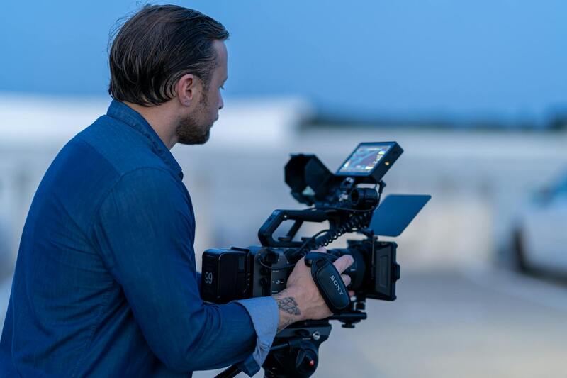
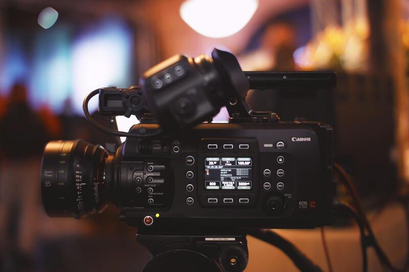
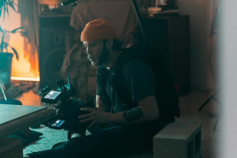
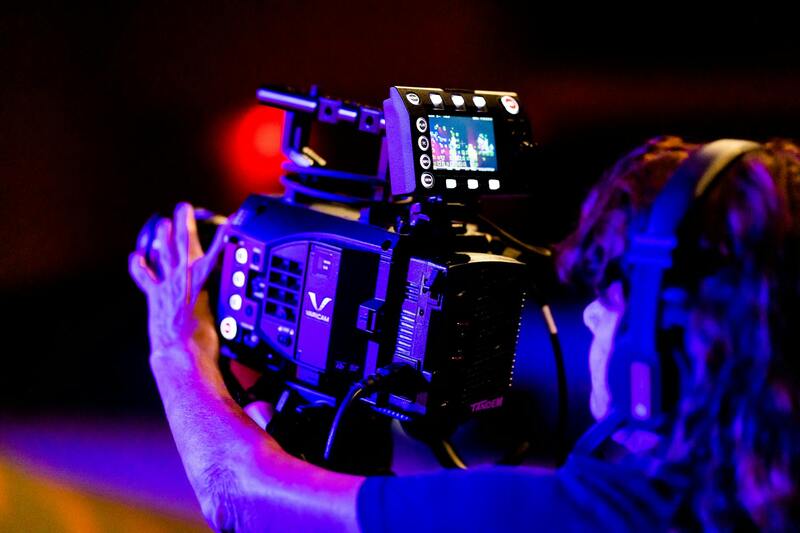
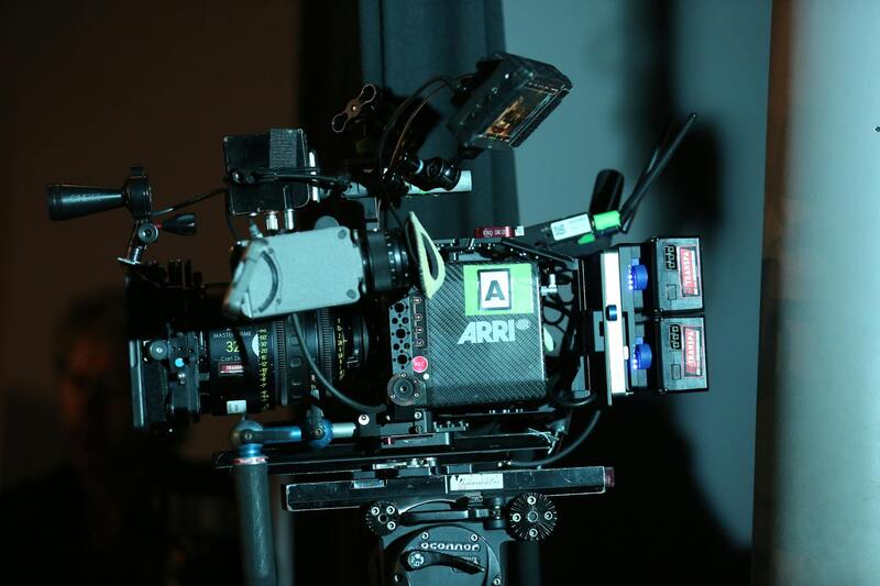
Successful aerial real estate videography hinges on the selection of appropriate equipment and advanced technology. High-quality drones equipped with 4K or higher resolution cameras are essential to capture crisp, vivid footage that highlights property features and surrounding landscapes with exceptional clarity. Stabilization gimbals integrated into professional drones help maintain smooth, steady shots, reducing shaky footage that can detract from the video's professionalism.
Beyond drone hardware, the use of cutting-edge camera accessories such as polarized filters and wide-angle lenses can enhance image quality, reduce glare, and provide expansive views of sprawling properties or scenic vistas. Effective equipment choice also involves selecting the right flight controllers, GPS systems, and obstacle avoidance sensors to ensure safe, precise navigation through complex property layouts or constrained environments.

Utilizing the latest technology in flight planning software allows for meticulous route mapping prior to the shoot. This ensures comprehensive coverage of the property and optimal angles for capturing key features without unnecessary flights or overlaps, saving time and money. Additionally, incorporating high-bandwidth transmission systems ensures real-time video feed quality during flights, allowing filmmakers to make immediate adjustments for better footage.
Planning and Preparing for Aerial Shoots
Thorough planning precedes every successful aerial real estate video. This process involves detailed site assessments to identify potential obstacles, lighting conditions, and the best angles to showcase the property’s unique aspects. Pre-flight surveys help determine the safest flight paths and appropriate times of day for capturing the property's best lighting and minimize potential disruptions.
Preparation also entails securing the necessary permissions and coordinating with property owners to ensure smooth access and operations. Creating a shot list aligned with marketing goals allows videographers to focus on essential shots that maximize visual impact and property appeal. Weather conditions are critically evaluated; clear, calm days are preferred to ensure stable flight conditions and optimal footage quality.

Effective planning with a focus on safety, legal compliance, and visual storytelling elevates the quality of the final product. It also reduces the need for reshoots and enhances the overall efficiency of the production process, aligning technical execution with strategic marketing objectives.
Ensuring Proper Permissions and Compliance with Aerial Video Production
Executing an aerial real estate video in Miami demands a thorough understanding of the necessary permissions and procedural steps to ensure that each project aligns with local regulations and property protocols. It begins with obtaining explicit approval from property owners or managing entities, which typically involves clear communication about the scope and purpose of the shoot, as well as scheduling to minimize disruptions. Securing written authorizations helps streamline operations and prevent potential conflicts during the shoot.
Beyond property permissions, adherence to aviation protocols specific to Miami is essential. This includes understanding designated no-fly zones, especially around airports, government buildings, or sensitive areas where drone operations are restricted or require special clearances. Utilizing official aeronautical charts and resources allows filmmakers to identify these zones and plan flight paths that respect these boundaries.
In addition to geographic considerations, compliance with city ordinances related to drone operations is critical. Miami has specific guidelines regarding altitude limits, permissible flight times, and proximity to crowds or private properties. These regulations are designed to promote safe and respectful drone usage within urban environments. Staying updated on any recent amendments or temporary restrictions ensures that all aerial filming activities continue to meet the required standards.
In practice, teams frequently coordinate with local authorities or utilize professional service providers with established relationships in Miami. Experienced drone operators familiar with the local regulatory landscape can navigate complex permissions processes efficiently. This proactive approach minimizes delays and ensures that aerial footage collection proceeds without unintended complications.
Furthermore, detailed risk assessments and pre-flight safety checks are integral parts of the process. Conducting site surveys to identify potential hazards or obstacles and establishing secure flight zones contribute to safe operations. These measures not only uphold operational integrity but also reflect a professional commitment to responsible drone use.
Official Methods for Securing Aerial Footage Permits in Miami
Obtaining the necessary permissions to operate unmanned aerial vehicles (UAVs) for real estate videos in Miami involves a comprehensive procedural approach. Prospective aerial videographers must initiate contact with relevant local authorities to submit detailed flight plans. This typically includes providing descriptions of flight paths, altitude parameters, the purpose of the shoot, and safety measures in place. In Miami, coordination often involves municipal agencies responsible for public safety and airspace management, ensuring that drone flights do not interfere with other aerial operations or infringe upon restricted zones.
Documentation is essential during this process. Operators should prepare a drone operation plan that clearly outlines the scope of activities, the duration of the flight sessions, and the specific locations involved. This plan may also include risk mitigation strategies and emergency procedures, demonstrating a commitment to responsible drone usage. Once submitted, authorities may review the proposal to verify compliance with established standards and may request additional information or modifications to flight plans before approval is granted.
In addition to municipal permissions, drone operators are encouraged to acquire certification from recognized aviation safety programs. Such credentials verify the operator’s competency and familiarity with safe drone operation practices. Partnering with licensed commercial drone service providers often streamlines the permission process, as these organizations maintain established relationships with regulatory bodies and are familiar with current compliance requirements.
Adherence to these official channels ensures that aerial photography projects are conducted within prescribed boundaries, fostering safe and effective filming sessions. This systematic approach minimizes interruptions and supports the delivery of high-quality real estate marketing content that underscores professionalism and attention to detail.
Furthermore, staying informed about ongoing changes in local airspace regulations is crucial. Miami’s dynamic urban environment, with its particular skyline and event spaces, often sees updates to flight restrictions. Regular consultation of official aeronautical resources and coordination with city authorities help drone operators adapt quickly, ensuring their filming activities remain compliant at all times.
Choosing the Right Equipment and Technology
For producing high-quality aerial real estate videos in Miami, selecting the appropriate equipment and technology is essential. The core component is a reliable drone equipped with a high-resolution camera, which ensures crisp, detailed footage that showcases the property’s best features. Modern drones with gimbal stabilization provide smooth, steady shots that are critical in conveying professionalism and enhancing the visual appeal of the property.
When considering camera specifications, opt for drones capable of capturing 4K or higher video resolution. This level of detail not only makes the property look more appealing but also offers flexibility in post-production editing, allowing for cropping, color correction, and other enhancements without losing image quality. Additionally, drones equipped with adjustable camera angles and zoom capabilities give videographers the flexibility to emphasize key property elements, such as architectural details, landscaping, or nearby amenities.
Alongside cameras, advanced flight controllers and GPS systems contribute to stable, precise flight paths. This precision facilitates the capture of complex shots, including sweeping panoramic views or detailed close-ups, without unintended movements. The integration of obstacle avoidance sensors enhances safety and allows for more ambitious filming angles within confined spaces.
Furthermore, software solutions for flight planning and shot automation can streamline the filming process. These tools enable pre-programming of flight routes and camera movements, reducing human error and ensuring consistent shot quality. For professionals in Miami, utilizing the latest technology enables efficient, high-end production while maintaining adherence to city regulations and safety standards.
Ensuring Proper Off-Season and Time-based Filming Conditions for Aerial Real Estate Videos
One of the key aspects of producing visually compelling aerial real estate videos in Miami involves strategic planning around seasonal and time-based conditions. The city’s subtropical climate allows for year-round filming, yet understanding how weather patterns and daylight hours impact shoot quality is essential for optimal results.
Choosing the ideal time for aerial footage ensures clarity, stability, and the best showcase of the property’s features. For instance, filming during the early morning or late afternoon, known as the golden hours, offers softer, diffused lighting that enhances textures and architectural details without harsh shadows. These times also generally feature calmer wind conditions, which are beneficial for drone stability and smooth footage.
Seasonal considerations include avoiding Miami’s rainy season, primarily from June to September, when frequent thunderstorms and high humidity can interfere with drone operation and damage equipment. During this period, scheduling shoots during dry spells and ensuring weather forecasts are carefully monitored helps mitigate risk and prevents costly delays.
Additionally, understanding local wind patterns and humidity levels can enhance flight safety and footage quality. Light breezes typically present fewer challenges and allow for more stable above-ground shots. Conversely, hurricanes or tropical storms, which are seasonal phenomena in Miami, necessitate postponing or rescheduling flights well in advance to maintain safety standards and protect valuable equipment.
Adjusting flight plans to occur during specific times of day when visibility and lighting conditions are most favorable can dramatically improve the visual appeal of the final video. This approach ensures that property features are highlighted in the best possible manner, enticing prospective buyers and clients with a striking visual presentation.
Ensuring Compliance Through Structured and Off-Grid Drone Operations
To maintain a consistent and professionally compliant approach to aerial real estate videography in Miami, deploying structured drone operations is essential. This involves adhering to established flight protocols that prioritize safety, efficiency, and quality. Utilizing pre-defined flight paths simplifies complex shoots, minimizes unnecessary maneuvering, and ensures comprehensive coverage of the property from multiple angles.
A vital aspect of structured operations is conducting thorough pre-flight planning. This includes reviewing weather conditions to avoid wind interference or precipitation, checking drone battery levels, and confirming equipment functionality. Documenting flight plans and maintaining logs can assist in tracking performance and addressing any discrepancies post-shoot.
Off-grid drone operations also provide valuable flexibility, especially for property listings located in remote or less accessible areas of Miami. These flights rely on autonomous flight modes, waypoints, and GPS-based navigation to execute complex shots without manual intervention. Off-grid techniques can enhance safety by reducing the need for constant manual control, especially during long or intricate shots.
Additionally, the integration of obstacle avoidance systems within modern drones enhances the safe execution of aerial captures in densely built neighborhoods or areas with numerous obstructions such as trees or utility lines. These systems automatically detect and navigate around potential hazards, safeguarding both equipment and the surrounding environment.
Maintaining adherence to flight time restrictions, limiting altitude to prevent interference with manned aircraft, and respecting privacy boundaries are also critical measures. Employing these methods ensures that aerial real estate videos are centered on precision, professionalism, and respect for residents' privacy.
Legal and Regulatory Considerations in Miami
Executing aerial real estate videos in Miami requires strict adherence to established operational standards governing drone usage and aerial filming. Professionals must prioritize comprehensive planning to ensure that each shoot aligns with local policies designed to manage airspace safety and respect privacy concerns. This involves understanding the specific airspace classifications and obtaining necessary permissions from relevant authorities prior to drone deployment.
Operators should also be familiar with Miami's specific regulations around altitude restrictions and designated no-fly zones, especially near airports, helipads, and other sensitive infrastructure. Effective collaboration with local authorities or aviation offices can facilitate smooth permission processes, minimizing delays and streamlining project timelines. Documentation of approvals and compliance measures should be meticulously kept to demonstrate adherence to all procedural standards, building credibility with clients and stakeholders.
In addition to regulatory considerations, employing certified drone pilots with experience in aerial real estate shoots enhances operational safety and effectiveness. These professionals are trained to interpret and implement airspace regulations precisely, ensuring that every flight plan is compliant. They are also adept at managing unexpected situations during flights, which is crucial when capturing high-value property visuals in complex urban environments.
Moreover, manufacturers and operators should stay updated on ongoing regulatory changes. Industry associations and official aviation bodies often provide resources and training to ensure drone operators are current with evolving standards and best practices. This proactive approach helps maintain high production quality while safeguarding all participants during aerial shoots.
Best Practices for Compliance and Safety
- Secure all necessary permits and approvals well in advance of shoot dates.
- Conduct pre-flight risk assessments to identify potential hazards and plan safe flight paths.
- Use certified and experienced drone pilots familiar with Miami's specific flight restrictions.
- Implement operational safety protocols, including maintaining line-of-sight during flights and avoiding populated or restricted areas.
- Communicate clearly with local authorities and property owners when necessary to ensure cooperation and understanding.
By meticulously overseeing these aspects, professionals can produce compelling, high-quality aerial real estate content that respects Miami’s regulatory landscape while highlighting property's appeal convincingly.
Summary
Adhering to Miami’s aerial filming standards is fundamental to delivering top-tier real estate videos responsibly. Through careful planning, engagement with local authorities, and employing trained professionals, producers can ensure each project meets all operational guidelines—ultimately enhancing the visual appeal of Miami properties while maintaining a commitment to safety and professionalism.