Overview of Drone Photography for Residential Properties
Drone photography has revolutionized the way residential properties are showcased in the real estate industry. By deploying unmanned aerial vehicles (UAVs), photographers can capture expansive, high-resolution images that highlight unique architectural features, landscape details, and the overall surroundings of a property from an elevated perspective. This approach provides potential buyers with a comprehensive view that ground-level photos often cannot deliver, emphasizing property size, layout, and neighborhood ambiance convincingly.
As technology advances, the accessibility and quality of drone imagery continue to improve. Modern drones equipped with stabilized cameras and high-definition sensors produce crisp, vibrant images and videos that can significantly enhance property listings. This increase in visual quality helps attract more prospective buyers and enables real estate agents to stand out in a competitive market.
The rising popularity of drone photography in the Miami real estate scene is driven by the unique opportunities it presents for properties with attractive surroundings, waterfront access, or sprawling land. By capturing images from the sky, agents can better demonstrate the full extent and appeal of a residence, ultimately fostering faster sales and more engaging marketing campaigns.
This technique aligns with the modern consumer’s desire for visually rich, immersive listings that give thorough insights into a home's exterior and landscape. Consequently, drone photography is increasingly regarded as an essential component of professional real estate marketing strategies.
In addition to improving visual appeal, drones allow for dynamic video tours, revealing features like backyard pools, gardens, driveways, and nearby amenities that influence buying decisions. These engaging visual assets can be seamlessly integrated into online listings, social media campaigns, and virtual open houses, making drone photography a powerful asset for real estate professionals.
Legal and Regulatory Considerations in Miami
When employing drone photography for residential properties in Miami, it is crucial to adhere to established procedures and protocols that govern aerial filming within the city. Miami's airspace is managed by a combination of local ordinances and federal guidelines, primarily overseen by the Federal Aviation Administration (FAA). Ensuring compliance not only safeguards the project from disruptions but also maintains a professional standard within the real estate marketing industry.
Property owners and drone operators should familiarize themselves with Miami’s specific regulations, which may include obtaining permits for commercial drone operations, especially when capturing images over private property or areas with high noise levels. In addition, it is important to understand restrictions related to altitude limits, no-fly zones—such as near airports, heliports, or sensitive infrastructure—and respecting privacy expectations of neighboring residents. These considerations help create a responsible and respectful approach to drone photography.
Operators should also maintain current registration of their drones with the FAA if required, carry appropriate certifications, and practice aeronautical awareness. Working with a drone professional or licensed pilot ensures adherence to safety standards and regulatory requirements, offering peace of mind and smooth execution of property shoots.
In Miami, local zoning codes and community guidelines may influence where and how drone images can be captured, especially in densely populated neighborhoods or protected areas. Collaborating with city officials or obtaining necessary permissions in advance can facilitate seamless operations and prevent potential disruptions or penalties. Ultimately, respect for existing laws and regulations forms the backbone of successful drone-based marketing efforts for residential properties.
By integrating these legal considerations into planning, real estate professionals can amplify the effectiveness of their drone imagery while maintaining high standards of safety, ethics, and respect for the community. Properly managed drone operations contribute to trustworthy and appealing property presentations that resonate well with prospective buyers and stakeholders alike.
Implementing Effective Drone Photography Techniques for Houses
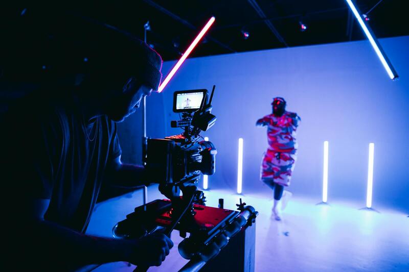
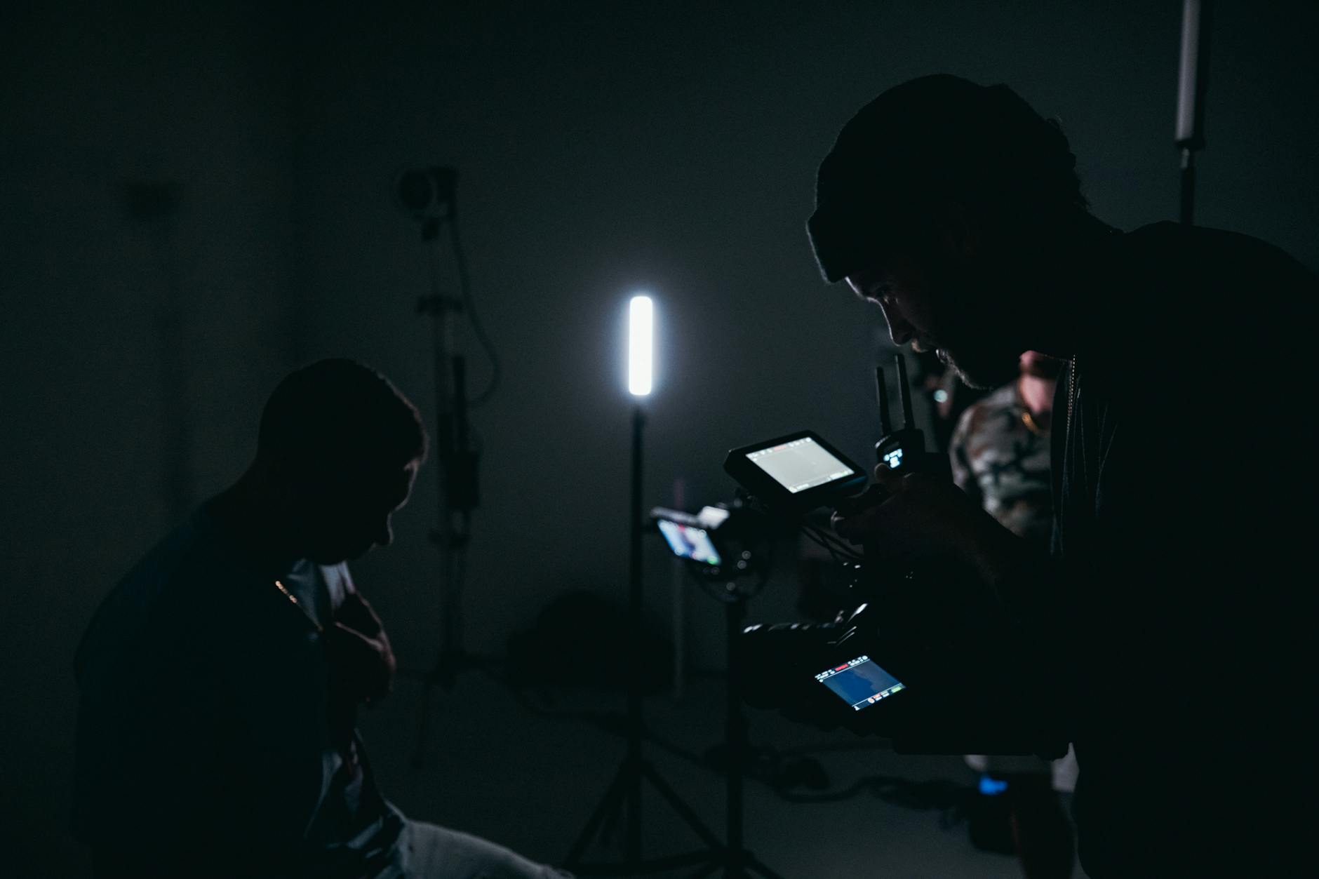
Achieving high-quality drone pictures of houses requires meticulous planning and technical skill. Professional drone operators employ advanced techniques to maximize the visual impact of aerial property images. One essential approach involves optimal flight paths that encompass comprehensive exterior views, emphasizing both the property's unique features and its surrounding landscape. Executing smooth, steady movements, often enabled by sophisticated stabilization systems, enhances image clarity and minimizes motion blur. This ensures crisp, detailed visuals that highlight the property's architecture and curb appeal.
Another crucial aspect is lighting management. Optimal lighting conditions, typically during early morning or late afternoon, provide natural, warm illumination that accentuates textures and colors. Skilled operators are adept at adjusting drone angles and camera settings to avoid harsh shadows and overexposed areas, resulting in balanced, visually appealing images. Moreover, capturing multiple angles from various altitudes allows for versatile perspectives – from sweeping wide shots showcasing the property's orientation within its neighborhood to close-up views that emphasize specific architectural details.
The incorporation of advanced camera equipment, such as high-resolution sensors and wide-angle lenses, further elevates image quality. Utilizing HDR (high dynamic range) imaging techniques can also improve the representation of scenes with contrasting light levels, ensuring that both shadows and highlights are well-defined. Post-flight editing, including color correction and perspective adjustments, can refine the final images, producing polished, professional-grade photographs that stand out in marketing materials.
In practice, establishing a consistent shooting protocol helps build a cohesive visual portfolio for a property. For instance, starting with aerial overview shots from higher altitudes, then gradually moving to lower, more detailed captures can provide comprehensive visual coverage. Additionally, integrating synchronized video footage enhances the storytelling aspect of the property, offering potential buyers a virtual tour experience that combines static imagery with dynamic movement.
It's also beneficial to coordinate drone flights during favorable weather conditions. Clear skies and gentle breezes reduce the risk of unstable hover and blurred images, ensuring that every shot meets professional standards. Proper pre-flight planning, including site assessments for obstacles and no-fly zones, underpins safe and effective operations. By adhering to these best practices, real estate professionals and drone operators can produce compelling aerial images that significantly boost property marketing efforts.
Utilizing Specialized Equipment and Technologies for Drone House Photography
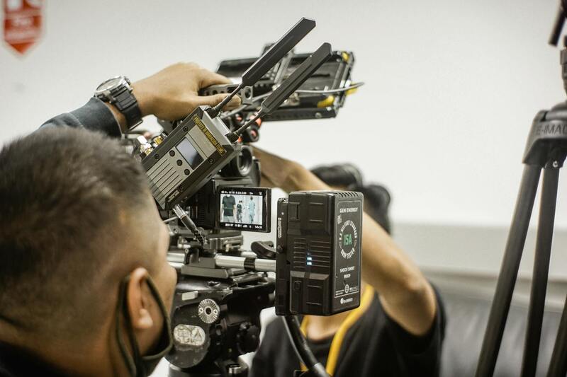
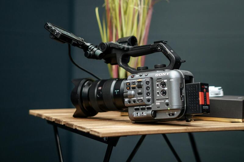
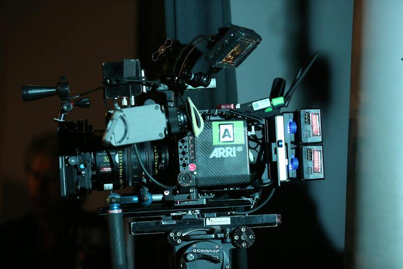
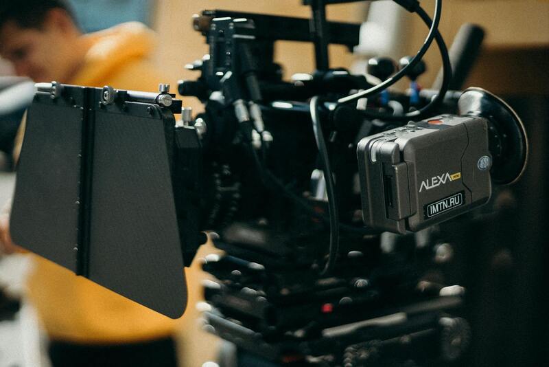
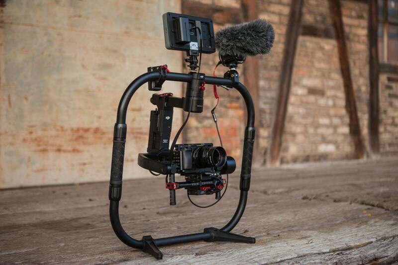
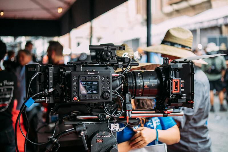
Achieving high-quality aerial images of residential properties necessitates the use of advanced drone equipment and state-of-the-art camera technologies. Selection of the right drone model is critical, with professional-grade devices offering superior stability, extended flight times, and the ability to carry high-resolution cameras. Multirotor drones equipped with gimbal-stabilized camera systems help capture sharp, distortion-free images, even during complex flight maneuvers or in challenging wind conditions.
Camera choice significantly influences the quality of drone photographs. Cameras capable of shooting in 4K or higher resolutions with wide dynamic range sensors ensure vivid details are preserved across diverse lighting scenarios. Incorporating lenses with wide apertures can further improve low-light performance, enabling versatile shooting at different times of day. Incorporating filters such as polarized or neutral density filters can manage reflections and control exposure, especially when capturing reflective surfaces like pools or large glass facades.
Sensor quality, flight stability, and reliable GPS navigation are fundamental components of modern drone systems. GPS and GLONASS compatibility facilitate precise positioning, allowing for complex waypoint missions that ensure consistent framing of key property features. This level of automation supports the creation of comprehensive visual reports from multiple angles and altitudes, providing a thorough overview that appeals to prospective buyers.
Integrating Drone Photos Within Broader Real Estate Marketing Strategies
Incorporating drone imagery into a comprehensive marketing plan enhances a property’s visual appeal and broadens audience reach. High-quality aerial photos serve as eye-catching elements in online listings, print advertisements, and virtual tours. When effectively integrated, these images provide a layered storytelling approach, showcasing the property’s exterior, surrounding landscape, and unique architectural details from multiple perspectives.
- Enhanced listing presentations with compelling aerial views that highlight property size and layout.
- Use of drone footage in virtual walkthroughs, allowing potential buyers to explore the property remotely.
- Combination of still images and video clips for engaging social media marketing campaigns.
Strategic timing of drone shoots is essential to capture ideal lighting conditions, typically during the golden hours of early morning or late afternoon. Proper editing workflows refine the raw images for color accuracy and perspective alignment, ensuring consistent and professional promotional materials. Incorporating these visuals into a broader digital marketing strategy not only attracts serious buyers but also elevates the property’s market positioning.
Ensuring Safe and Effective Drone Operations for House Photography
Achieving stunning and comprehensive drone pictures of houses hinges on the deployment of reliable technology and adherence to established operational protocols. To capture high-quality images that effectively showcase a property’s features, it is essential to use the latest drone models equipped with advanced camera systems capable of capturing sharp, high-resolution visuals from various altitudes and angles. Features such as interchangeable lenses, gimbal stabilization, and high dynamic range imaging contribute to producing professional-grade photographs that highlight architectural details, landscaping, and surrounding environments.
Operational safety and image consistency are equally important. Before launching a drone, conducting thorough site assessments helps identify potential obstacles like trees, power lines, or neighboring structures that might interfere with flight paths or compromise image quality. Flying along predefined flight paths and maintaining consistent altitudes ensures comprehensive coverage of the property without unnecessary repetition or missed details.
Choosing the appropriate flight times is also critical. Clear weather conditions and optimal natural lighting, typically during early morning or late afternoon, help produce vivid images with depth and atmosphere. Weather considerations, such as wind speed and precipitation, should be monitored closely to prevent in-flight instability or damage to equipment. Furthermore, coordinated flight plans help maximize efficiency, ensuring all desired perspectives are covered in a single session.
Post-flight, meticulous editing of drone images plays a crucial role in enhancing visual appeal. Adjustments for color correction, perspective alignment, and contrast ensure the images are polished and representative of the property’s true character. Many professional drone operators employ specialized software that automates parts of this process, leading to consistent results across different projects.
Implementing these proven methods guarantees that drone pictures of houses are not only visually striking but also precise and informative, serving as compelling tools in the broader realm of real estate marketing. From imagery capturing the grandeur of the property to detailed shots of architectural nuances, a strategic approach enhances narrative storytelling and supports effective property promotion strategies.
Best Practices for Drone House Photography
Capturing high-quality drone images of houses requires adherence to a set of established best practices that ensure clarity, consistency, and visual appeal. Stationed at optimal flight heights, operators should aim to showcase the property’s expanse while highlighting unique architectural features and surrounding landscape. Using advanced drone stabilization technology minimizes motion blur, resulting in sharp, professional-grade images. Employing multiple angles—such as frontal shots, aerial flyovers, and rooftop perspectives—provides potential buyers with a comprehensive visual understanding of the property's layout and scale.
- Lighting and Timing: Scheduling drone flights during daylight hours with favorable weather conditions enhances image vibrancy. Early mornings and late afternoons, when natural light casts softer shadows, often produce more dynamic visuals that convey depth and texture.
- Flight Path and Composition: Planning a structured flight path ensures coverage of key vantage points without redundant footage. Applying compositional principles, such as the rule of thirds and framing, directs viewers’ focus to the property's most appealing features.
- Environmental Control: Wind speed and precipitation can impact drone stability and image quality. Monitoring weather updates before flights helps prevent disruptions and ensures safety during operation.
- Post-Processing: Post-flight editing corrects color balance, enhances contrast, and straightens horizons to produce a polished final product. Software tools can automate aspects of these adjustments, ensuring consistency and efficiency in delivering high-resolution images.
- Safety and Privacy: Maintaining a safe flight altitude and respecting nearby properties safeguard all parties involved. Avoiding intrusion into restricted zones guarantees responsible drone operation and preserves community goodwill.
By incorporating these best practices, drone operators can effectively create compelling visuals that enhance property listings and marketing campaigns. The precision in capturing the property’s scale, surroundings, and architectural details creates a compelling narrative that attracts potential buyers and supports the overall selling strategy.
Advanced Techniques for Optimal Drone Shots of Houses
Achieving high-quality drone pictures of houses requires mastering advanced flight and capture techniques that emphasize the property’s best features. One such method involves utilizing multiple altitudes and angles to create a comprehensive visual narrative of the home and its surroundings. Flying at varying heights—from sweeping aerial views to close-up inspections of architectural details—provides potential buyers with a nuanced understanding of the property’s scale and design.
Another critical approach is the use of dynamic flight paths that follow the natural contours of the property and landscape. Curved or circular paths around the house can produce captivating images that highlight property boundaries, landscaping plans, and outdoor amenities. For image consistency, maintaining steady flight speeds and smooth camera gimbal movements ensures sharp, professional-quality visuals.
Incorporating time of day into planning can significantly elevate image appeal. Golden hour light—shortly after sunrise or before sunset—creates warm tones and soft shadows that convey welcoming atmospheres. Utilizing this lighting, combined with strategic flight angles, can accentuate architectural textures and landscape features, resulting in images that stand out in listings.
Again, deploying high-resolution cameras equipped with adjustable apertures and image stabilization technologies results in crisp, vibrant images regardless of weather conditions or flight altitude. These technical details underpin the ability to produce consistent, high-caliber shots suitable for various marketing platforms.
Advanced Techniques for Capturing Stunning Drone Images of Houses
When aiming to elevate the visual appeal of residential properties through drone photography, employing advanced techniques is crucial. These methods enable the creation of compelling, high-quality images that effectively showcase a home’s best features, attract prospective buyers, and distinguish listings in a competitive market.
Optimizing Flight Planning and Camera Settings
Meticulous flight planning is fundamental. Using pre-programmed flight paths and automated waypoint missions ensures comprehensive coverage of the property while maintaining consistent image quality. Proper altitudes should be selected to balance detail and context, capturing both the architectural intricacies and surrounding landscapes without distortion.
Camera settings require careful adjustment to match lighting conditions. For buildings with reflective surfaces or complex textures, manual control over shutter speed, ISO, and aperture helps prevent overexposure or underexposure. A higher dynamic range setting can capture a wider spectrum of light, ensuring details are preserved in both shadows and highlights.
Utilizing High-Resolution Cameras and Stabilization Technologies
Employing drones equipped with high-resolution sensors, such as 4K or higher, permits the capture of crisp, detailed imagery suitable for large-format prints and digital listings. Image stabilization technologies, including gimbals, eliminate vibrations and ensure photo sharpness despite camera movement during flight.
Enhancing Composition and Perspective
Composition techniques, such as the rule of thirds and leading lines, guide viewers' attention toward key features of the property. Strategic angles reveal the house’s scale, architectural style, and surrounding amenities effectively. Dynamic perspectives, such as aerial shots from varying heights and diagonals, add visual interest and depth to the imagery.
Post-Processing for Impactful Visuals
Post-flight editing refines drone images to achieve a polished, professional look. Adjustments to color balance, exposure, and contrast can enhance visual appeal while maintaining realistic representation. Perspective correction ensures buildings appear proportionate, and disharmony in framing is eliminated. High-quality rendering of landscaping and architectural details can help convey the property’s full potential.
Best Practices for Safe and Effective Drone Operations
Operational safety and precision are essential for capturing the best images. Maintaining clear communication with team members, performing pre-flight checks, and securing flight permissions where necessary help ensure smooth operations. Opting for flight plans that avoid interference from obstacles or adverse weather conditions maximizes safety and image quality.
Implementing These Techniques to Maximize Property Appeal
Applying these advanced methods results in stunning visuals that efficiently communicate the residence’s unique features. Combining optimal flight planning, high-quality equipment, creative composition, and meticulous post-processing elevates the quality of drone pictures of houses, ultimately supporting stronger marketing strategies and quicker property sales.