Overview of Commercial Real Estate Drone Photography
Commercial real estate drone photography has emerged as a transformative tool in the property marketing landscape. Utilizing advanced unmanned aerial vehicles (UAVs), this method offers a dynamic perspective that traditional photography cannot achieve. By capturing high-resolution images and videos from multiple angles and elevations, drone photography enhances the visual presentation of commercial properties, making them more appealing to potential investors, tenants, and buyers.
This technology plays a crucial role in showcasing the full scope of a property’s features, surroundings, and scale. It allows for comprehensive visual narratives, highlighting key aspects such as building exteriors, landscaping, parking facilities, and nearby amenities. As a result, drone footage provides an immersive experience that can significantly influence marketing strategies and accelerate transactions.
In addition to static images, aerial videography captures sweeping shots and smooth camera movements, adding a cinematic appeal to property listings. This integrative approach offers a competitive advantage in the highly visual real estate market, making drone photography an indispensable asset for brokers, property managers, and developers.
Efficient, cost-effective, and capable of delivering stunning visuals, commercial real estate drone photography has become a standard in modern property promotion. Its ability to provide potential stakeholders with a comprehensive view from above can improve decision-making, increase engagement, and lead to faster sales or leasing processes.
Key Equipment and Technology for Effective Drone Photography
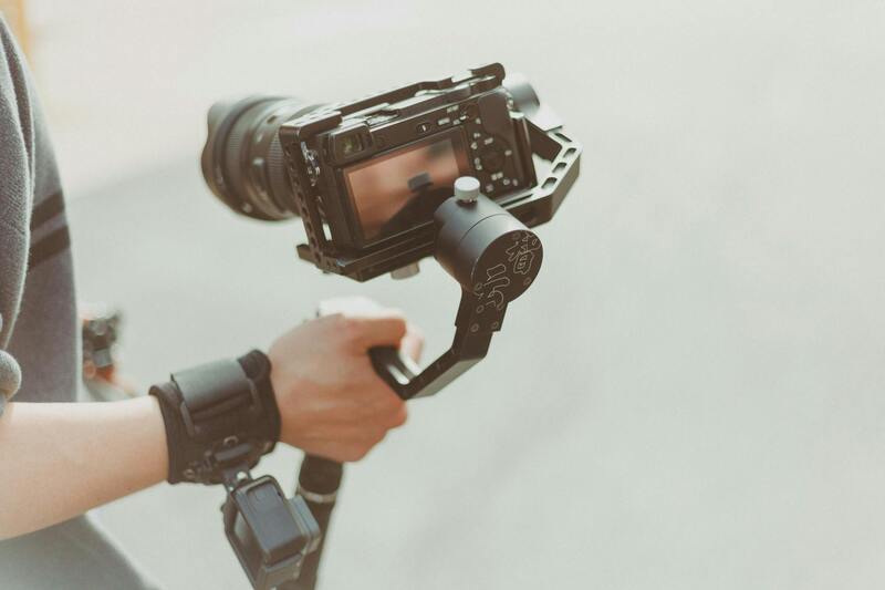
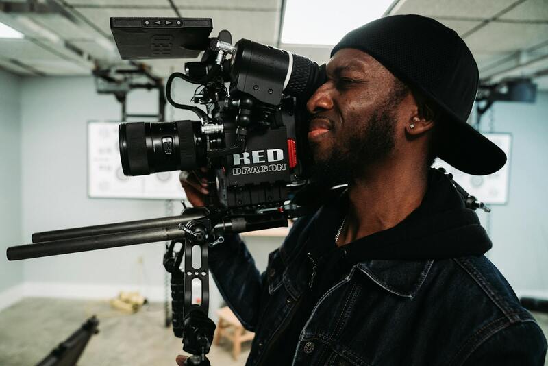
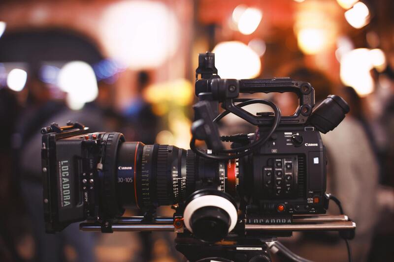
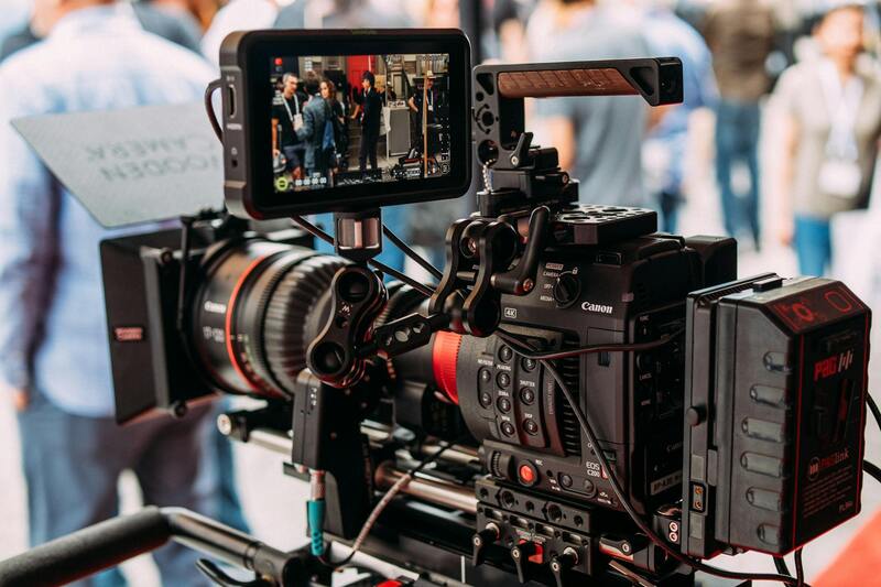
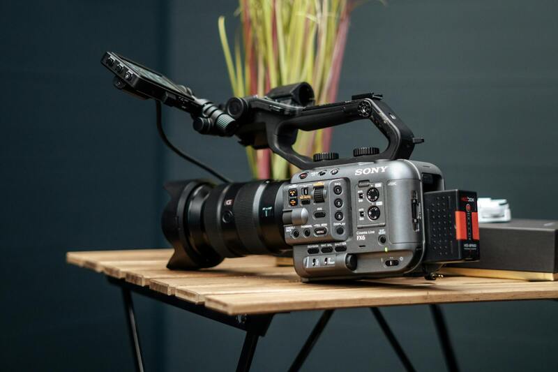
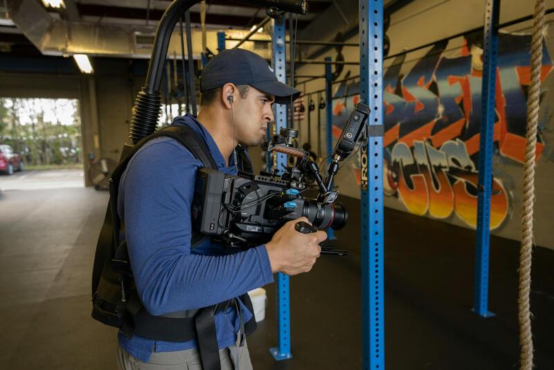
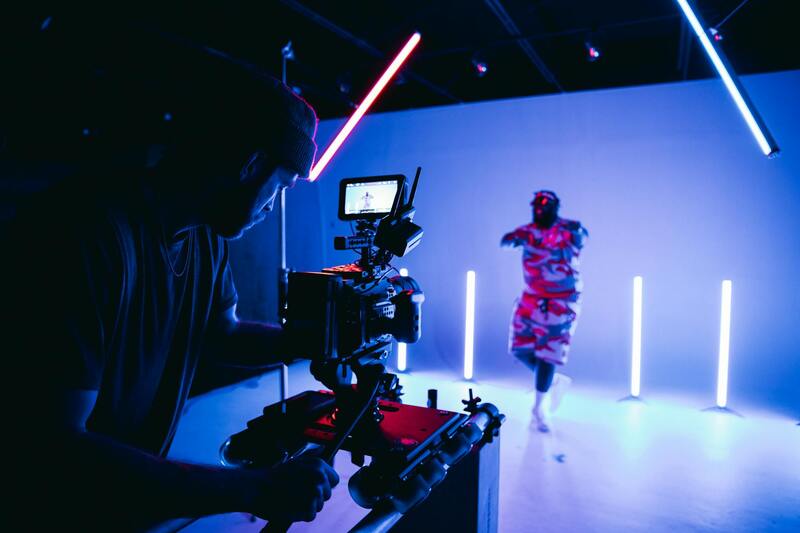
Selecting the appropriate equipment is fundamental to producing high-quality commercial real estate imagery. Professionals utilize advanced UAVs equipped with high-resolution cameras capable of capturing detailed images from various altitudes and angles. Modern drones often feature gimbals for stabilization, ensuring sharp, clear footage even in windy conditions, which are common in Miami's coastal environment.
Additionally, the choice of camera sensors plays a vital role in image quality. Full-frame sensors with wide apertures enable better low-light performance, essential for capturing well-lit visuals during sunrise, sunset, or overcast days. The integration of wide-angle lenses allows for expansive shots that highlight entire property complexes and their surroundings.
To maximize safety and efficiency, industry-standard drone models incorporate sophisticated GPS systems for precise navigation and automated flight paths. This technology facilitates complex shot sequences and repetitive captures, which are essential for creating consistent marketing materials.
Beyond the aircraft and camera, post-processing software is indispensable. Tools such as Adobe Photoshop and Lightroom are used to enhance exposure, color balance, and sharpness. Advanced video editing platforms enable seamless stitching of aerial footage into compelling promotional videos.
Best Practices for Capturing Commercial Property Shots
Effective drone photography begins with meticulous planning. Survey the property to identify the best times of day for lighting conditions, typically during the golden hour shortly after sunrise or before sunset, to avoid harsh shadows. Weather considerations are equally important; clear skies and minimal wind conditions ensure smooth flights and optimal image quality.
Pre-flight planning includes determining the flight path and shot angles. For commercial real estate, this often involves capturing a variety of perspectives, including front facades, parking lots, surrounding streets, and aerial views of entire complexes. Maintaining consistent altitude levels allows for uniformity across images, which enhances the overall visual narrative.
During shooting, it's crucial to keep the drone stable and precisely controlled. Using automated flight modes can help achieve smooth motion, especially for sweeping panoramic shots and cinematic videography. Multiple passes at different heights and angles provide a range of options during editing, offering flexibility in highlighting key property features.
Post-shoot review should include assessing image sharpness, exposure, and composition. Reducing motion blur and ensuring the framing centers the property effectively can significantly improve the impact of the final visuals.
Legal and Regulatory Considerations in Miami
Conducting commercial real estate drone photography in Miami requires thorough awareness of the operational guidelines established by the Federal Aviation Administration (FAA) and local authorities. These regulations are designed to ensure safe and responsible drone usage within urban and commercial environments, especially when capturing images over private properties and densely populated areas.
Operators must adhere to specific flight restrictions, including maintaining visual line of sight with the drone at all times, flying within designated altitude limits—generally up to 400 feet above ground level—and avoiding restricted zones such as airports or military installations. Local ordinances may also impose restrictions on flying near critical infrastructure, public spaces, or during certain hours to prevent disruptions.
Prior to any flight, securing appropriate permits and authorizations is essential to ensure full compliance. This often involves submitting flight plans to Miami's aviation authorities and, in some cases, notifying local law enforcement or property owners, particularly when operating in high-traffic or sensitive areas.
Safety protocols form a foundational element of professional drone operations. Pilots must conduct pre-flight inspections, check weather conditions to avoid high winds or precipitation, and implement emergency procedures for loss of control or other incidents. Recording flight logs and maintaining clear documentation of permissions and insurance coverage further supports responsible drone use in commercial settings.
Therefore, successful commercial real estate drone photography in Miami hinges on meticulously planning each flight within the legal framework, respecting privacy boundaries, and prioritizing safety. This not only ensures the security of operations but also upholds the reputation of the service provider by demonstrating accountability and professionalism.
Advanced Techniques for Enhancing Commercial Property Imagery
To optimize the visual impact of drone-captured footage in commercial real estate, leveraging advanced camera settings and stabilization techniques is critical. High dynamic range (HDR) imaging allows the capture of details in both shadows and highlights, ensuring that the images accurately represent the property's features under various lighting conditions. Adjusting aperture, shutter speed, and ISO settings based on ambient lighting can significantly improve image clarity and brightness.
Utilizing tilt-shift lenses or gimbal stabilization systems minimizes distortion and jitter during flight, resulting in smooth footage that highlights the property's best angles. For instance, using a polarizing filter can reduce glare from reflective surfaces such as glass facades and water features, providing a clearer view of architectural details.
Pre-programming flight paths with waypoints ensures comprehensive coverage of large or complex properties, maintaining consistent altitude and framing throughout the shoot. Employing panoramic and high-resolution imaging techniques allows for detailed virtual tours, which are increasingly valuable in remote marketing efforts.
Importance of Weather Conditions and Timing
Weather plays a pivotal role in drone operations and the quality of images obtained. Clear, bright days typically yield the best results, with minimal wind to curb drone stability issues. Schedules should be optimized for optimal sunlight, usually during early morning or late afternoon hours, when natural light infuses the property with warmth and reduces shadows.
Respecting Privacy and Maintaining Professional Standards
While capturing aerial shots, it is essential to respect the privacy of neighboring properties and avoid intrusive filming. Maintaining clear communication with property owners and local authorities ensures that operations proceed smoothly. Establishing a consistent workflow, adhering to safety guidelines, and conducting post-flight inspections validate the professionalism and reliability of the photography service.
Effective Post-Production Strategies for Commercial Real Estate Drone Footage
After capturing high-quality aerial images and videos of commercial properties, the next critical phase is post-production editing. This process transforms raw footage into compelling visual assets that can significantly enhance marketing efforts and attract potential tenants or buyers. Utilizing advanced editing techniques ensures that every shot communicates the property's unique features and meets industry standards.
Color Grading and Correction
Color correction is fundamental to achieving vibrant, accurate visuals. Adjusting brightness, contrast, and saturation levels helps to highlight architectural details and create a consistent look across all footage. Proper color grading can also establish a mood or emphasize certain aspects of the property, such as lush landscaping or modern architectural elements, making the visuals more appealing and immersive.
High Dynamic Range (HDR) Imaging
HDR techniques combine multiple exposures to produce images with a greater range of luminance. This approach ensures that both shadows and highlights are well-preserved, providing a balanced and detailed view of the property—especially in scenes with challenging lighting conditions such as reflections off glass facades or areas with stark sunlight and shadows. Integrating HDR in aerial photography offers a more realistic and captivating presentation.
Aerial Video Editing
Seamless editing of drone videos involves combining various clips, adjusting pacing, and incorporating smooth transitions. Incorporating cinematic movements and stabilized footage helps to maintain viewer engagement. Adding titles, captions, and overlays can provide additional context, such as property dimensions, zoning details, or key amenities. Maintaining high video resolution throughout the editing process preserves clarity and detail, which is essential for professional marketing materials.
Optimizing Visual Content for Different Platforms
Effective post-production involves tailoring the output for various marketing channels. For online listings and websites, shorter high-quality videos and panoramic images are ideal. Social media platforms benefit from optimized formats that load quickly and maintain visual fidelity. High-resolution visuals should also be prepared for print advertising and brochures, ensuring consistent branding and messaging across multiple formats.
Quality Assurance and Final Checks
Before delivering the edited content, thorough reviews are essential to ensure all visual adjustments meet professional standards. Checking for color consistency, image sharpness, and overall coherence guarantees that the visuals accurately reflect the property's appeal. This meticulous quality assurance not only enhances the visual impact but also fortifies the reputation of the service provider.
Essential Techniques and Best Practices for Commercial Drone Photography
Achieving high-quality aerial imagery of commercial properties requires more than just operating a drone. It involves strategic planning, technical expertise, and adherence to best practices to ensure the visuals stand out and effectively communicate the property's value. Professionals leverage specific techniques that focus on capturing comprehensive and compelling shots.
One of the key strategies is thorough pre-flight planning. This includes reviewing property layouts, understanding the specific areas that need highlighting—such as entrances, parking, landscaping, and unique architectural features—and planning flight paths that maximize coverage while maintaining safety considerations. Accurate site reconnaissance allows for optimal angles and shot compositions, resulting in visuals that are both aesthetically pleasing and informative.
During the shoot, maintaining consistent camera settings—such as aperture, shutter speed, and ISO—is crucial for producing cohesive imagery, especially when compiling sequences or creating panoramic views. Proper framing and perspective control ensure that the property appears proportionate and visually engaging. Aerial shots should be captured from various heights and angles to provide a multidimensional perspective, giving viewers a comprehensive sense of the property's scope and surroundings.
Utilizing automatic stabilization features on modern drones can significantly reduce camera shake, resulting in crisp, professional-grade visuals. Moreover, shooting during optimal lighting conditions—such as during golden hour—can dramatically enhance the visual appeal, highlighting property features with natural, flattering illumination.
Post-shoot, a focus on meticulous editing and color correction enhances the impact of captured images. Consistency across shots helps maintain a polished look, crucial for marketing materials. Advanced techniques like HDR imaging can be employed to balance exposure differences in challenging lighting conditions, ensuring every detail is visible and vibrant.
Ultimately, the effectiveness of commercial drone photography hinges on combining technical skill with artistic vision. When executed properly, these visuals serve as powerful tools in real estate marketing strategies, capturing potential investors and tenants' attention while showcasing the property’s full potential.
Effective Methods for Commercial Real Estate Drone Photography in Miami
Successfully capturing compelling visuals of commercial properties through drone photography involves adherence to proven techniques and strategic planning. Employing legitimate and efficient methods ensures that each aerial shot effectively highlights the property's unique features, geographic advantages, and overall appeal to prospective investors or tenants.
Pre-Flight Planning and Site Analysis
Before initiating any drone operation, comprehensive pre-flight planning is essential. This includes analyzing the property layout, understanding the surrounding environment, and considering optimal angles for capturing both the property and its context within the neighborhood. Such preparation minimizes turnaround time and maximizes shot quality. During this phase, reviewing local airspace maps helps identify no-fly zones and restricted areas, ensuring compliance with established protocols. Utilizing high-resolution satellite imagery and property blueprints can assist in determining ideal flight paths and vantage points, leading to more strategic and impactful imagery.
Utilizing Advanced Equipment for Precision
Employing state-of-the-art drones equipped with high-resolution cameras, such as 4K or higher, ensures clarity and detail in every shot. Stabilization systems, including gimbal stabilization and advanced flight controllers, preserve image sharpness and minimize motion blur. Multi-directional sensors and obstacle avoidance technology enable safe operation in complex environments, allowing for more ambitious flight plans that can capture comprehensive visuals from multiple angles. Equipped with GPS waypoint systems, these drones can execute precise, automated flight paths to ensure consistency across shoots, which is vital for creating a cohesive marketing portfolio.
Optimal Shooting Conditions and Techniques
The timing of drone flights plays a significant role in image quality. Conducting shoots during early morning or late afternoon—golden hour—offers natural, warm illumination that enhances colors and textures of the building facades. Overcast days also provide evenly diffused light, reducing harsh shadows and glare. When executing shots, maintaining a variety of angles—elevations, side perspectives, and front-on views—helps produce a diverse set of visuals that appeal to different marketing objectives. High-altitude shots can reveal the property’s scale and its relation to nearby infrastructure, while lower angles highlight architectural details.
Post-Operation Data Management and Secure Storage
After capturing the necessary footage, proper handling of the data is critical. Transferring files through secure, high-speed connections preserves image quality and protects sensitive information. Utilizing professional editing workflows—correcting colors, enhancing contrast, and applying HDR techniques—further amplifies the visual impact of the images. Incorporating comprehensive metadata and creating organized catalogs streamline subsequent marketing efforts, ensuring easy access and sharing of assets across platforms.
Compliance and Safety in All Phases
Throughout every stage, maintaining compliance with Miami's drone operation standards and safety protocols ensures smooth execution. This includes conducting risk assessments, securing necessary flight permissions, and briefing operators on safety procedures. Regular equipment maintenance and pilot training foster a culture of professionalism and reliability, resulting in consistent delivery of high-quality visuals that can effectively serve marketing and stakeholder engagement efforts.
Legal and Regulatory Considerations in Miami
Executing commercial real estate drone photography within Miami requires a comprehensive understanding of the existing regulatory framework established to ensure safety, privacy, and airspace management. Drone operators must adhere to specific operational standards that govern flight permissions, altitude restrictions, and geographic boundaries. In Miami, obtaining the necessary authorizations often involves coordinating with the Federal Aviation Administration (FAA) and local authorities. This process includes submitting detailed flight plans, demonstrating proficiency with drone operation, and ensuring that all equipment meets required standards.
Furthermore, commercial operators should be aware of restrictions related to sensitive zones, such as near airports, government facilities, or densely populated areas. Proper notification and, in some cases, scheduling flights during designated windows help avoid conflicts with air traffic control and other airspace uses. In addition, the privacy concerns of property owners and the wider community are mitigated through transparent communication and adherence to established guidelines for data collection and imagery capture.
To maintain compliance, professional operators often maintain detailed records of flight activities, permissions obtained, and safety protocols followed. This documentation not only supports accountability but also streamlines the approval process for future projects. Employing licensed pilots with thorough knowledge of Miami's specific airspace regulations ensures that every project adheres to these necessary standards, safeguarding both the stakeholders and the quality of the visual assets produced.
Staying updated with evolving regulations and maintaining open channels of communication with authorities optimize project execution while respecting legal frameworks. This proactive approach ensures uninterrupted workflow, fosters community trust, and preserves the integrity of the aerial imaging process.