Overview of Aerial Real Estate Photography
Aerial real estate photography involves capturing high-quality images and videos of properties from elevated perspectives, primarily through the use of drones or aircraft. This specialized form of imaging allows potential buyers to gain a comprehensive view of a property and its surroundings, which static ground-level photos may not fully convey. In Miami's dynamic real estate market, where waterfront properties, sprawling estates, and urban developments are abundant, aerial imagery plays a pivotal role in attracting attention and enhancing property listings.
The process begins with capturing expansive shots of the property's exterior, perimeter, and surrounding landscape. These images highlight features such as garden layouts, architectural details, nearby amenities, and the overall property size. Aerial photography helps real estate professionals present properties in a way that emphasizes their unique features, making listings more engaging and informative for prospective buyers.
This form of imaging has become a staple in Miami’s real estate marketing strategy due to its ability to provide a bird’s eye view that enhances visual storytelling. By integrating aerial photographs into listings, agents and sellers can offer a compelling visual context that improves engagement and provides a clearer understanding of the property’s layout and environment. Whether capturing the luxurious expanse of a waterfront estate or the bustling cityscape of Miami’s urban neighborhoods, aerial real estate photography helps create a more impactful presentation that aligns with today’s digital-first consumer expectations.
Types of Equipment and Technology Utilized in Aerial Real Estate Photography
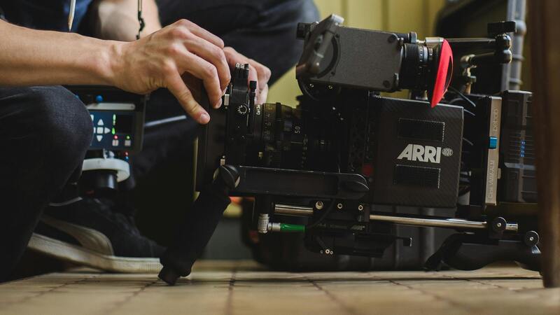
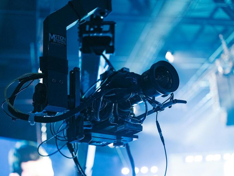
Effective aerial real estate photography relies on the deployment of advanced equipment and technology designed to achieve high-quality, precise imagery. The selection of tools is crucial for capturing detailed and visually compelling shots that effectively showcase the property and its surroundings. The most common devices include drone systems equipped with high-resolution cameras, stabilized gimbals, and GPS capabilities, enabling smooth flight paths and pinpoint accuracy.
Modern drones used in Miami’s real estate marketing feature integrated sensors that allow for 4K or higher resolution video and photography, ensuring clarity and detail even at a distance. They often come with automated flight modes, such as orbit, waypoint navigation, and follow-me features, simplifying complex shots and maintaining consistent framing. These capabilities enable photographers to produce dynamic visuals without manual control for every movement, which is especially helpful in documenting sprawling estates or waterfront properties.
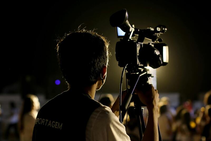
Alongside drones, professional-grade cameras and lenses are employed to maximize clarity and depth of field. Wide-angle lenses are particularly popular as they provide a broader perspective, capturing more of the landscape while maintaining image quality. For ground-based shots or unique angles, stabilization equipment such as gimbals and tripods further enhance image sharpness and steadiness.
By leveraging these technological advancements, real estate professionals can produce aerial imagery that highlights the property's exterior features, landscaping details, and access points with enhanced precision and aesthetic appeal. The integration of GPS technology also allows for repeated drone flight paths, ensuring consistency across multiple shoots and facilitating detailed comparisons over time.
Best Practices for Capturing Aerial Real Estate Photos
Achieving compelling aerial images requires adherence to specific best practices that optimize both safety and visual impact. Planning the shoot is a fundamental first step, which involves assessing weather conditions, considering lighting angles, and determining the optimal time of day to maximize natural light and minimize shadows.
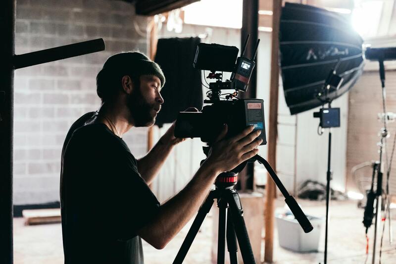
Stable flight operation is key, necessitating proper calibration of equipment and careful pre-flight checks to ensure all systems are functioning correctly. Maintaining consistent camera settings across the shoot—such as ISO, shutter speed, and aperture—ensures uniformity and clarity in the images.
Composition plays a significant role in effective aerial photography; framing should emphasize key property features and utilize the rule of thirds to create balanced shots. Elevation and angle choices can dramatically influence how the property is perceived, highlighting its size, shape, and surrounding environment. Incorporating perpendicular and oblique angles can offer diverse perspectives that appeal to prospective buyers.
Furthermore, ensuring the safety of the flight path involves understanding local airspace regulations and avoiding restricted zones. Efficiently planning routes to cover all necessary vantage points minimizes flight time and reduces the risk of incidents. Post-flight review of images on-site allows for immediate retakes if necessary, guaranteeing the quality of the final visuals.
Types of Equipment and Technology Utilized
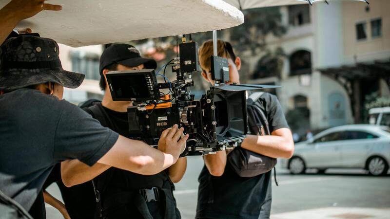
Professional aerial real estate photography hinges on the use of advanced equipment designed to deliver high-quality images while ensuring operational safety and precision. The cornerstone of this setup involves specialized drones capable of stable flight and maneuverability. These unmanned aerial vehicles (UAVs) are equipped with high-resolution camera systems, often calibrated to capture detailed, crisp images suitable for marketing materials.
Camera systems used in aerial real estate photography typically feature large sensors and adjustable lenses. Mirrorless or DSLR cameras with professional-grade optics are common, allowing photographers to control exposure, focus, and aperture settings meticulously. These features ensure that images are sharply rendered, with accurate color representation and optimal depth of field.
In addition to high-quality cameras, software plays a pivotal role in planning and executing successful shoots. Flight planning applications enable professionals to map out flight paths that maximize coverage of the property, avoid restricted zones, and optimize battery usage. During flight, real-time telemetry and GPS technology assist pilots in maintaining precise control, especially in complex environments with obstacles.
Regulatory compliance remains critical, and therefore, equipment equipped with features such as geofencing and automatic return-to-home functions adds an extra layer of security and control. When selecting tools for aerial real estate photography, it’s essential to choose models that meet current industry standards and legal guidelines, ensuring smooth operations and high-quality outputs.
Post-Processing and Image Optimization
After capturing high-resolution aerial images, the next critical step involves post-processing to enhance visual appeal and ensure consistent branding. Photographers utilize advanced editing software to adjust exposure, contrast, and color balance, transforming raw footage into polished images that highlight the property's key features. Sharpness and clarity are refined through precise sharpening techniques, while distortion correction ensures straight lines and proportions remain true to reality, providing viewers with an accurate representation of the property.
Image optimization also involves resizing images to appropriate dimensions for various marketing channels without sacrificing quality. Compressed files are prepared to facilitate faster loading on websites and virtual tours, enhancing user experience. Consistent image formatting and branding elements, such as watermarks or logos, bolster brand recognition and professionalism.
A cohesive visual presentation across all marketing materials—property listings, virtual tours, and social media—can significantly influence viewer engagement. When optimized correctly, aerial photographs effectively captivate potential buyers by showcasing the property's layout from unique perspectives, emphasizing outdoor spaces, landscaping, and surrounding amenities.
Furthermore, consistent color grading and lighting adjustments can help balance shadows and highlights, ensuring a natural yet striking appearance. Proper post-processing not only elevates the aesthetic quality but also enhances the credibility of the listing, reassuring prospective buyers of transparency and attention to detail in the marketing approach.
Legal Regulations and Permits in Miami
Miami's regulatory landscape for aerial real estate photography involves adherence to specific operational guidelines that govern the use of unmanned aerial vehicles (UAVs). These guidelines are designed to ensure safe and responsible drone use in urban and suburban environments. It is essential to obtain the appropriate permits and authorizations before conducting aerial shoots, especially in areas with high pedestrian traffic or near sensitive infrastructure. Compliance involves coordinating with local authorities and understanding designated flight zones and altitude restrictions.
Operators must ensure that their equipment is equipped with features such as geofencing to prevent unauthorized entry into restricted zones and automatic return-to-home functions to maintain safety during operations. Maintaining up-to-date documentation of permits and flight plans is an important aspect of ongoing compliance.
In Miami, proactive communication with municipal agencies and adherence to established protocols facilitate smooth project execution. Engaging with licensed professionals familiar with Florida's aviation and drone regulations ensures that aerial photography services are conducted within the framework of current standards.
It is advisable for real estate professionals and photographers alike to stay informed about any updates in drone regulations and emerging policies that could impact project planning. By aligning operations with these standards, firms can avoid unnecessary disruptions and maintain a reputation for responsible, compliant aerial imaging services, ultimately contributing to successful property marketing efforts.
Legal Regulations and Permits in Miami
To ensure the integrity and success of aerial real estate photography projects, understanding the specific permit requirements and procedural protocols in Miami is crucial. Miami-Dade County, with its vibrant real estate market and busy urban landscape, maintains a comprehensive framework for drone operation to promote safe and efficient aerial imaging. This framework includes obtaining authorizations from relevant authorities prior to conducting commercial flight operations, especially in densely populated or high-traffic areas. Fulfilling the permit process often involves submitting detailed flight plans, including flight path details, altitude ranges, and the purpose of the shoot. These submissions are reviewed by oversight bodies responsible for managing airspace use within the city and county jurisdictions. It is necessary to provide proof of pilot certification, equipment specifications, and safety procedures, which serve to demonstrate compliance with local standards. In Miami, specific regulatory guidelines delineate where and how aerial photography can be undertaken. For example, flights near airports, over protected zones, or in proximity to critical infrastructure require additional coordination with aviation authorities. Ensuring these requirements are met helps prevent disruptions and supports smooth project execution. Operators should routinely review updates from municipal agencies and aviation authorities to stay informed about any modifications in permit protocols or flight restrictions. Engaging with licensed, experienced drone operators familiar with Miami’s specific regulatory landscape ensures adherence to all procedural standards, ultimately safeguarding property, personnel, and the otol of the project. Securing the necessary permits not only facilitates lawful operation but also enhances credibility with clients and stakeholders. Robust documentation of permits, flight plans, and compliance measures serve as essential references in project reporting and future initiatives. For real estate professionals seeking to leverage aerial photography, partnering with certified aerial imaging providers guarantees that all projects are conducted within the parameters established by Miami’s regulatory agencies.
Overview of Aerial Real Estate Photography
Aerial real estate photography involves capturing high-quality images and videos of properties from elevated perspectives using various aerial platforms. This method provides a comprehensive view of the property's layout, surrounding environment, and neighborhood context, enabling prospective buyers to better visualize the property’s features and its relation to nearby amenities. Unlike traditional ground-level shots, aerial photography reveals intricate details such as roof conditions, landscaping, and proximity to commercial or recreational areas, which are crucial for marketing luxury estates, large plots, or unique architectural designs.
Advances in drone technology and high-resolution imaging have revolutionized real estate marketing strategies, making aerial imagery more accessible and cost-effective than traditional aircraft methods. The resulting visuals are not only striking but also highly informative, catering to a market that demands transparency and detailed property insights. For real estate professionals aiming to differentiate their listings, implementing aerial photography can be a game-changing approach to attracting potential buyers and closing deals more efficiently.
Advantages of Using Aerial Photography for Real Estate Listings
- Enhanced Property Presentation: Aerial views create a dramatic aerial overview that highlights the property's scope, landscaping, and unique features, attracting more attention online and in print.
- Location Contextualization: Show potential buyers the property's proximity to schools, parks, shopping centers, and transportation options, painting a complete picture of the neighborhood.
- Improved Listing Engagement: Listings with professional aerial images tend to generate higher click-through rates and faster sale times by offering immersive visual storytelling.
- Coverage of Hard-to-Reach Areas: Capture expansive properties, large estates, or difficult terrains without the limitations faced by ground photography.
- Highlighting Property Value: Elevated images accentuate the property's size, scale, and outdoor amenities, emphasizing its value proposition over other listings.
Types of Equipment and Technology Utilized
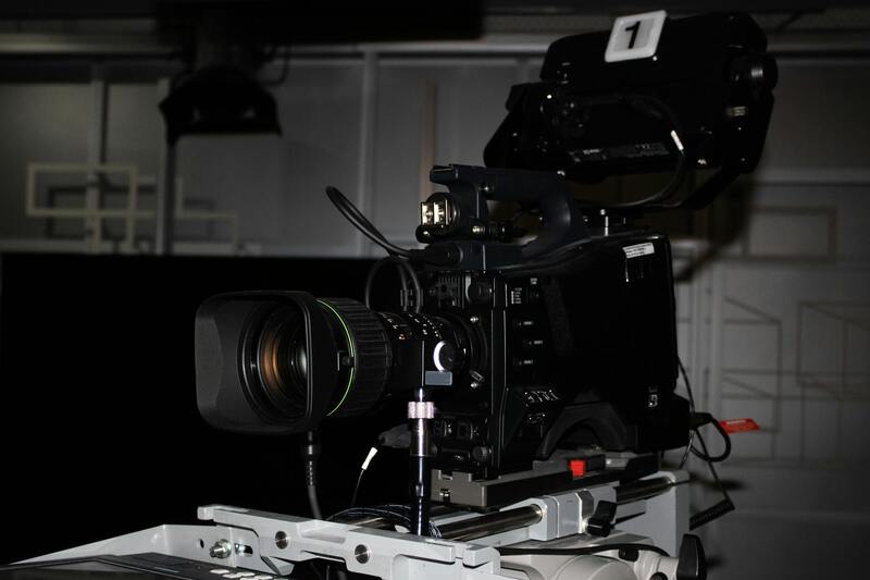
The backbone of effective aerial real estate photography is the selection of suitable equipment and modern technology. Drones equipped with high-definition cameras are the most popular platforms, offering versatility and maneuverability in various environments. These devices often feature stability gimbals to ensure smooth footage, even in windy conditions, and advanced sensors to improve image quality in different lighting scenarios.
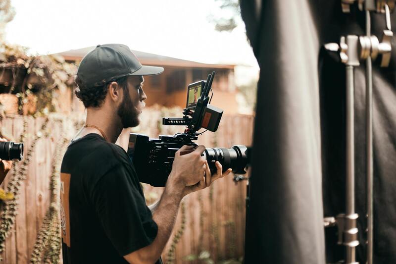
Some professional setups integrate panoramic imaging, 4K video capabilities, and GPS positioning to facilitate precise flight paths and consistent results. Additionally, software for image stitching and editing enhances the final visuals, ensuring optimized presentations for marketing efforts. Operators must be skilled in piloting these devices and knowledgeable about the latest technological advancements to maximize safety, efficiency, and quality output.
Best Practices for Capturing Aerial Real Estate Photos
- Pre-Flight Planning: Conduct thorough site assessments, identify optimal flight paths, and plan shots considering light conditions, weather forecasts, and potential obstructions.
- Maintaining Safe Distances: Respect privacy and avoid flying over prohibited zones or directly above people and private properties unless authorized.
- Optimal Timing: Schedule shoots during golden hours—early mornings or late afternoons—to benefit from soft, warm lighting that enhances property features.
- Consistent Shooting Angles: Use standardized angles for a cohesive visual narrative that allows viewers to easily understand property layout and scale.
- Multiple Perspectives: Capture a variety of shots from different altitudes and angles to provide comprehensive insight into the property and its surroundings.
Adherence to these practices results in professional-grade imagery, which significantly enhances marketing materials and buyer engagement. Incorporating advanced planning tools, such as flight planning software, can further streamline operations and ensure all shots meet the highest standards of quality and safety.
Post-Processing and Image Optimization
Post-processing is a critical stage that transforms raw aerial footage into compelling marketing visuals. This phase involves meticulous editing to enhance image clarity, color balance, and contrast while removing any extraneous elements or distractions that could detract from the property’s presentation. High-resolution images should be optimized for various platforms, including online listings, social media, and print media, to ensure consistency and maximum visual impact.
Professional editing software enables precise adjustments, such as perspective correction to maintain spatial accuracy and the application of filters or overlays that enhance visual appeal. Additionally, compressing images for web use without sacrificing quality is vital for fast-loading, high-resolution listings that attract and retain viewer interest. Accurate color correction and retouching also help to portray the property in its best light, ensuring that the final images effectively communicate the property's essence and allure.
Legal Regulations and Permits in Miami
Effectively utilizing aerial real estate photography necessitates compliance with established procedures for obtaining necessary permissions. In Miami, the process involves coordinating with relevant authorities to ensure all aerial operations align with local standards and protocols. Securing the appropriate authorizations typically includes submitting detailed flight plans that specify the intended flight paths, altitudes, and operational scope. These plans are reviewed to confirm they do not interfere with other aerial activities or infringe on protected airspaces.
Professional photographers and videographers often work with dedicated compliance teams or consult legal experts to facilitate a smooth application process. This practice helps prevent disruptions and ensures that the aerial shoots are conducted within the parameters set by local jurisdictions.
Another important aspect involves understanding the specific airspace restrictions that may be present around sensitive areas such as governmental buildings, airports, or densely populated districts. Supplemental documentation, like proof of insurance and safety protocols, may be required when applying for permits. Staying informed about ongoing regulatory updates and maintaining open communication channels with authorities can help streamline the permitting process.
Collaborating with experienced aerial service providers who are familiar with local regulations also bolsters compliance efforts. These professionals often possess the knowledge and resources to manage permit acquisition efficiently, allowing property owners and marketers to focus on creating compelling visual content without unnecessary delays or complications.
In summary, understanding and navigating the permit landscape in Miami is an essential component of executing successful aerial real estate photography projects. Proper planning and collaboration with qualified professionals are key to delivering high-quality visuals that adhere to local standards and showcase properties at their best, all while maintaining operational integrity and public safety.
Legal and Safety Considerations for Aerial Real Estate Photography in Miami
Executing aerial real estate photography in Miami demands adherence to a range of operational standards designed to ensure safety, professionalism, and high-quality results. Engaging with licensed and experienced aerial service providers is fundamental. These professionals are equipped with the necessary certifications, insurance, and operational expertise to conduct aerial flights responsibly. Their familiarity with Miami’s unique airspace and local air traffic procedures helps mitigate potential risks and ensures smooth execution of photography sessions.
Prior to any shoot, thorough planning is essential. This includes detailed risk assessments, advanced site inspections, and establishing clear flight plans that respect geographical boundaries and obstacle management. Effective communication with clients, property owners, and nearby residents contributes to a seamless operational flow, reducing misunderstandings or disruptions.
Monitoring weather conditions is a critical component of the planning process. Given Miami’s dynamic climate, with frequent precipitation and rapid weather changes, scheduling flights during optimal weather windows minimizes the risk of compromised images and safety hazards. Experienced pilots and technical staff employ advanced weather forecasting tools to select suitable flight times, ensuring both safety and image clarity.
Aircraft and drone maintenance are also vital. Regular inspections and adherence to manufacturer guidelines ensure that all equipment functions optimally, preventing mechanical failures during shoots. This proactive approach supports consistent delivery of high-quality visuals while maintaining operational safety.
Operational Protocols and Data Security
- Strict adherence to flight safety protocols established by industry standards.
- Secure handling and storage of captured data to protect client confidentiality and property rights.
- Use of redundancy systems and backup equipment to prevent data loss and ensure seamless workflow.
Furthermore, professional aerial photographers prioritize safety during equipment setup, flight operation, and post-shoot procedures. They maintain comprehensive insurance policies to cover potential liabilities, which safeguards all stakeholders involved. By following proven safety guidelines and operational best practices, aerial real estate photography projects in Miami can be executed efficiently, producing compelling visuals while upholding safety and professional standards.